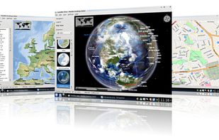
Live images of Earth, updated every 10 minutes with GOES and Himawari-8, and every 15 minutes with Meteosat. Zoom to Satelite Map view with Street names. Rain and Weather view.
 United Kingdom


Apps similar to HooMap include OpenStreetMap, which is free and open source. Other options are Google Earth, Grafana, QGIS and HERE WeGo. You're spoiled for choice with Map Services like HooMap: we list more than 100 alternatives for the web, Windows, Mac, Linux and iPhone.
Live images of Earth, updated every 10 minutes with GOES and Himawari-8, and every 15 minutes with Meteosat. Zoom to Satelite Map view with Street names. Rain and Weather view.
United Kingdom
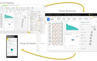
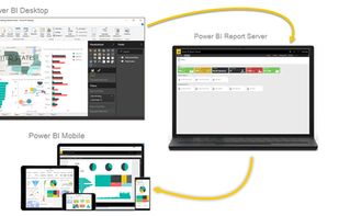
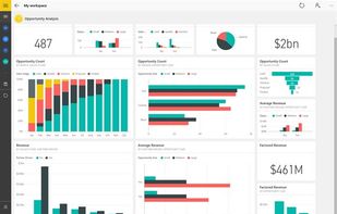
Utilize Microsoft's Power BI to convert varied data sources into interactive visual insights. It includes Power BI Desktop, online services, and mobile apps, allowing the creation, sharing, and consumption of business insights on any device, tailored to diverse business needs.
 United States



Your business needs software. But because engineers are scarce, many departments (sales, marketing, support, HR, etc.) don’t build the software they need. When companies use Retool, they build much more software, which leads to a more efficient business.
United States


Yandex.Maps gives you access to maps of over 1800 cities and towns right in your pocket. Find addresses and companies. Plan your journeys in a car or on public transport taking current traffic conditions into account.
 Russia





Streets GL is a real-time 3D map renderer built for visualizing OpenStreetMap data with a heavy focus on eye-candy features.






Transforming data to dashboards in seconds, this AI-powered business intelligence tool enables analysts, consultants, and data science teams to rapidly generate visuals, reports, and insights without SQL queries, enhancing collaboration and decision-making across teams.
United States


2GIS provides 3D-maps of 180+ cities, contacts of 1.5 million companies, car routing and public transport routes and and more! 2GIS is a complete and up-to-date directory of organizations with detailed cities’ maps.
Russia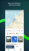




Canva Sheets revolutionizes spreadsheets by integrating visual-first design, AI-driven data insights, and real-time collaboration within Canva's Visual Suite. Users can import CSV data, utilize Magic Features like Charts and Formulas, and enable cloud syncing for seamless access, creating compelling content.
 Australia


Talend leverages the open source model to make data integration available to all types of organizations, regardless of their size, level of expertise or budgetary constraints. Talend’s solutions connect to all source and target systems and they can be downloaded at no cost.
 France
 EU


Pretzel is an open-source, offline browser-based tool for fast and intuitive data exploration and visualization. It can handle large data files, runs locally in your browser, and requires no backend setup.
United States


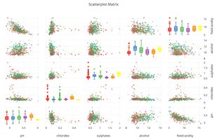
Plotly is the easiest way to graph and share data online. Open-source libraries for JavaScript (comparison with HighCharts at https://plot.ly/highcharts-alternative/), Python, R, and MATLAB.
United States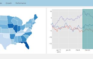

Marble is a Virtual Globe and World Atlas that you can use to learn more about Earth: You can pan and zoom around and you can look up places and roads. A mouse click on a place label will provide the respective Wikipedia article.
 GermanyEU