MapServer is an Open Source platform for publishing spatial data and interactive mapping applications to the web. Originally developed in the mid-1990’s at the University of Minnesota, MapServer is released under an MIT-style license, and runs on all major platforms (Windows...
gvSIG Desktop Alternatives
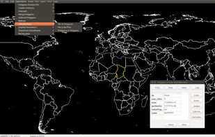
gvSIG Desktop is described as 'GvSIG is a Geographic Information System (GIS), that is, a desktop application designed for capturing, storing, handling, analyzing and deploying any kind of referenced geographic information in order to solve complex management and planning problems' and is a GIS software in the travel & location category. There are more than 25 alternatives to gvSIG Desktop for a variety of platforms, including Windows, Linux, Web-based, Mac and Android apps. The best gvSIG Desktop alternative is QGIS, which is both free and Open Source. Other great apps like gvSIG Desktop are what3words, ArcGIS, Plus Codes and Maptitude.
Alternatives list


 25 MapInfo Professional alternatives
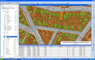
MapInfo Professional is a powerful, functionally rich desktop mapping application from Pitney Bowes MapInfo, designed to enable organisations to solve business problems that have a geographical element.


Manifold GIS is a combination of mapping, CAD, DBMS and image processing. The hallmark of GIS is the power of using a visual interface to view, grab, analyze, manipulate and transform data that would not be comprehensible in classic row and column DBMS text presentations.
 +6
+6


Beautiful, User Friendly online mapping software that scales to big data.
The MapLarge API enables user-driven, low latency, interactive visual exploration and analysis of very large geospatial and non-geospatial data collections to recognize patterns and identify anomalies. Use.


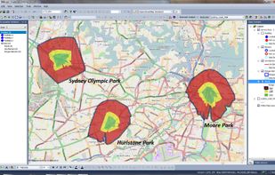
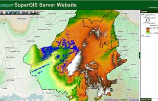
Supergeo Technologies Inc. is global leading GIS software & total solution provider. With series GIS products covering from desktop, mobile, server to developer SDK, SuperGIS has been utilized more than 100 different countries.

 +3
+3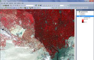


Spatial Feature Server by MapET is an ESRI Geoservices REST Implementation and works with all ESRI Rest API's. The source of published data is the spatial extension of the major RDBMS, such Oracle, Microsoft SQLServer, MySQL, PostgreSQL.


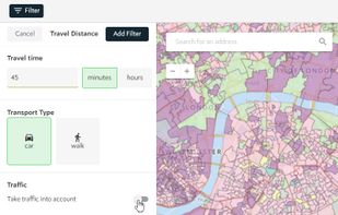
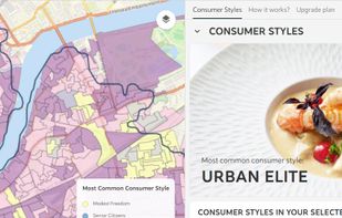
Spotzi is an easy-to-use online geomarketing platform you can try for FREE. Spotzi has a short learning curve, so you don't have to be a data scientist to work with Spotzi. Our main goal is to find your best-fit customers in just a few clicks.
Cost / License
- Freemium
- Proprietary
Application type
Platforms
- Mac
- Windows
- Linux
- Online
- Android
- iPhone
- Android Tablet
- Windows Phone
- iPad
 +1
+1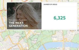


Cost / License
- Free
- Proprietary
Platforms
- Windows
- Linux


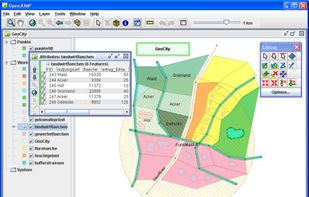
OpenJUMP is an open source Geographic Information System (GIS) written in the Java programming language. It is developed and maintained by a group of volunteers from around the globe.


Azimap is a web GIS developed on open source principles and offers GI professionals with the tools to visualise, analyse and share their spatial data on the web.
Cost / License
- Freemium
- Proprietary
Application type
Platforms
- Linux
- Online
- Android
- iPhone
- Chrome OS
- Self-Hosted
- Software as a Service (SaaS)


