Google Maps AlternativesOnly apps categorised as Map Services - Page 7
The best Map alternative to Google Maps is CoMaps, which is both free and Open Source. If that doesn't suit you, our users have ranked more than 100 alternatives to Google Maps and loads of them are Map Services so hopefully you can find a suitable replacement. Other interesting Map Service alternatives to Google Maps are OpenStreetMap, Organic Maps, OsmAnd and Cartes.
filter to find the best alternatives
Alternatives list

A lightweight, private, and fully customizable map app based on OpenStreetMap. Change your perspective, plan routes, explore areas in 3D, and export views without tracking.
 Poland
 EU


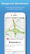
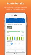
INRIX Traffic personalizes routes to avoid the worst traffic, recommends trips and departure times, and provides automatic, intelligent alerts to keep users aware of changing road conditions.
Cost / License
- Free
- Proprietary
Application typeApplication types
Since
- Since 2021
Alerts
- Discontinued
 United States
 +7

 20 Old Maps Online alternatives
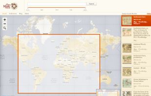
Comprehensive platform for locating digitized historical maps worldwide, offering geographic and temporal search tools, direct links to primary map images, metadata details, and access to collections from libraries, museums, and archives.


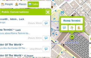
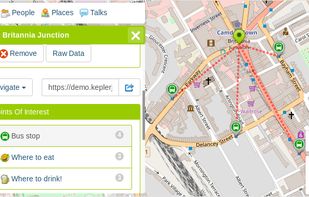
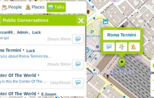
KeplerJs is a open source geosocial solution that lets users share favorite places and join discussions in real-time. It can be seen as a platform where users can interact with other open data platforms searching across OpenStreetMap, Geonames among other sources.
 Italy
- EU

 +1


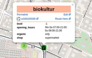
TransforMap works towards an online platform for you to visualize the myriads of alternatives to the dominant economic thinking on a single mapping system.


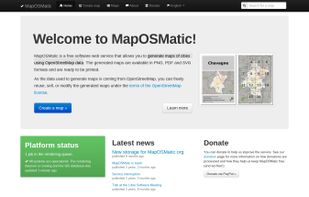


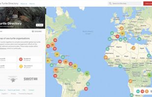
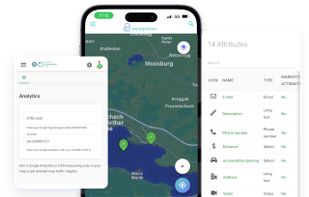
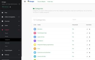
Mapotic is an innovative cloud platform that offers a wide range of map-based products and services to organizations globally, enabling them to effectively leverage the full potential of geolocation data.
 Czechia
- EU


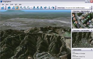
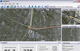
MapSphere is a manageable way to view and organize geographical data of different kind. This might be raster maps and satellite imagery from various sources, your own information received from GPS, tracks of your friends, whatever you want.