


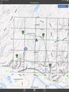
Land Nav Assistant is a navigation app designed for military personnel that accepts MGRS or Latitude / Longitude coordinates, providing visual navigation to each point and enabling users to analyze their pace count and directional tendencies.


+4


Apps similar to Garmin BaseCamp include MTL Explorer, which is free and open source. Other options are wanderer, gpx.studio, QMapShack and TopoFusion. You can choose from more than 10 Map Services like Garmin BaseCamp for Windows, Linux, Mac, Android and iPhone.
Land Nav Assistant is a navigation app designed for military personnel that accepts MGRS or Latitude / Longitude coordinates, providing visual navigation to each point and enabling users to analyze their pace count and directional tendencies.

Mgrs & Utm Map is a GPS and coordinate system application designed to assist military personnel and outdoor enthusiasts with navigation, supporting various satellite systems and offering diverse map layers.
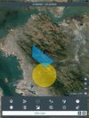
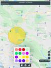


Turtle Sport is an open source software developed to communicate with GPS devices : Garmin, Suunto, etc. The following functions are available:
Retreive your activities from GPS devices. Import and export activities in GPX, hst, tcx, kml, fit. Configure the athlete data: weight.
 France
 EU
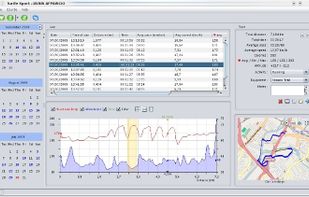


Local-first ride viewer — import, browse, tag, replay, compare and analyse your tours. TourGaze turns the FIT / GPX / TCX / KMZ files from your bike computer, watch or phone into a searchable, taggable library of rides — with a cinematic map replay, advanced per-ride analytics...
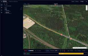


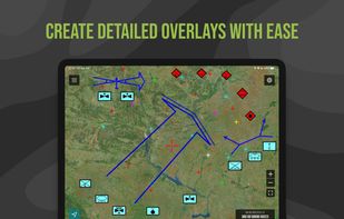
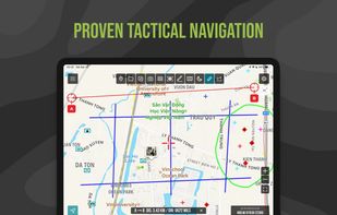
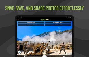
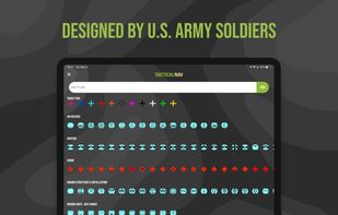
Military-grade navigational app, created by a U.S. Army Field Artillery officer, designed to provide service members with a highly accurate mobile solution for tactical navigation, featuring features such as offline mapping, waypoint plotting, and a tactical drawing mode.
 United States


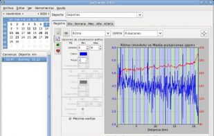
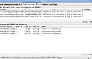
Pytrainer is a tool to log all your sport excursion coming from GPS devices (with a focus on Garmin ForeRunnner 205, 305 and 405) or GPX files. Pytrainer supports GPS track files and displays your data in graphs and maps.



ZTGPS is a Linux+KDE native PIM application satisfying the same purpose as Garmin's "BaseCamp" software, which does not run on Linux.


GPSPhotoLinker adds GPS position and location data to your photos. The latitude and longitude recorded by your GPS unit are linked and saved to your photos. GPSPhotoLinker automatically enters the city, state and country into the metadata.


 Lithuania


