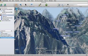
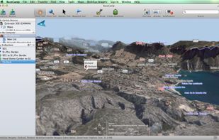
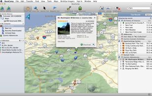
Garmin BaseCamp provides an interface for viewing Garmin map products and managing geographic data. With BaseCamp, you can perform the following tasks:
Cost / License
- Free
- Proprietary
Platforms
- Mac
- Windows
 United States




Apps similar to Mgrs & Utm Map include Garmin BaseCamp, which is free. Other options are Tactical NAV: MGRS Navigation, Land Nav Assistant, GPSPhotoLinker and TopoFusion. In total there are five GPS Navigation Services like Mgrs & Utm Map for Mac, Windows, Android, iPhone and iPad.
Garmin BaseCamp provides an interface for viewing Garmin map products and managing geographic data. With BaseCamp, you can perform the following tasks:
United States
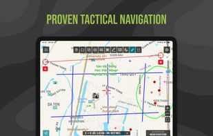
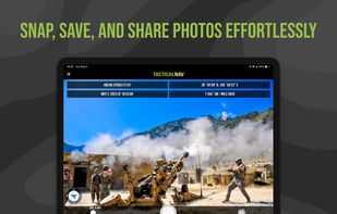
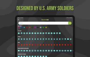
Military-grade navigational app, created by a U.S. Army Field Artillery officer, designed to provide service members with a highly accurate mobile solution for tactical navigation, featuring features such as offline mapping, waypoint plotting, and a tactical drawing mode.
United States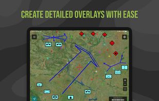


Land Nav Assistant is a navigation app designed for military personnel that accepts MGRS or Latitude / Longitude coordinates, providing visual navigation to each point and enabling users to analyze their pace count and directional tendencies.
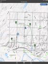


GPSPhotoLinker adds GPS position and location data to your photos. The latitude and longitude recorded by your GPS unit are linked and saved to your photos. GPSPhotoLinker automatically enters the city, state and country into the metadata.


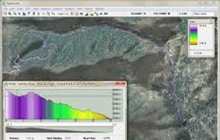
TopoFusion is a GPS mapping software for Windows. It downloads maps (topo, aerial photo and satellite) automatically from several public map servers.