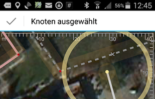
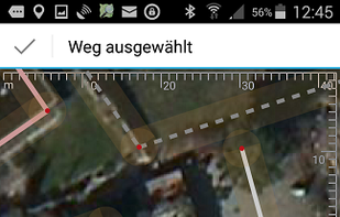
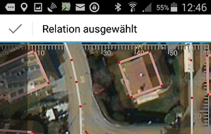
Vespucci is the first OpenStreetMap editor for Android. That means: It is a light-weight, easy-to-use mapping tool on mobile Android devices.
 +7
+7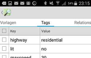 Best alternatives are17 alternatives
 StreetCompleteand
 JOSM
JOSM
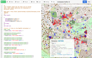
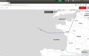
uMap let you create maps with OpenStreetMap layers in a minute and embed them in your site. Add custom annotations, lines, shapes, import and add custom layers (KML, CSV, GPS, ...) and other data.
Cost / License
- Free
- Open Source
Application type
Platforms
- Self-Hosted
- OpenStreetMap
- Python
- Django
- Leaflet
- Online
 Best alternatives are56 alternatives


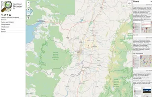
An application to ‘browse’ the information in the displayed part of the map. Similar to common Wikis and also the main page of OpenStreetMap the website shows a narrow menu on the left side, most of the page is used for the display of...
 Best alternatives are20 alternatives
 CoMapsand
 OpenStreetMap
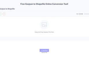
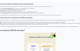
GeoJSON to Shapefile Converter is a free online tool that simplifies converting GeoJSON files into Shapefiles. Designed for GIS professionals and developers, it offers a fast, easy, and secure way to transform geospatial data for various applications.
 Best alternatives are1 alternatives

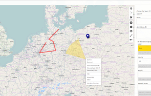
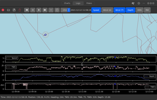
GWeatherRouting is an open-source sailing routing and navigation software written using Python and Gtk4.


Draw, visualize and convert geographical shapes between Well-Known-Text (WKT) and GeoJSON formats with this online progressive web app. You can draw points, circles, rectangles or any polygon shape, or add them manually from WKT or GeoJSON.
Cost / License
- Free
- Open Source
Platforms
- Online


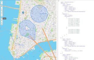
The Geoman GeoJSON editor is a quick and simple but powerful tool for creating, viewing, editing and sharing your geospatial data. Edit your data through the code editor or directly on the map and copy or download valid GeoJSON after you're done.
Cost / License
- Freemium
- Open Source (MIT)
Platforms
- Online
 Best alternatives are1 alternatives

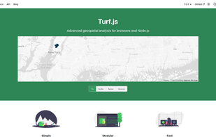
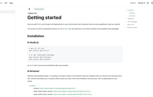
Turf is a JavaScript library for spatial analysis. It includes traditional spatial operations, helper functions for creating GeoJSON data, and data classification and statistics tools. Turf can be added to your website as a client-side plugin, or you can run Turf server-side...
Cost / License
- Free
- Open Source (MIT)
Platforms
- Self-Hosted
- Node.JS
 Best alternatives are1 alternatives

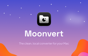
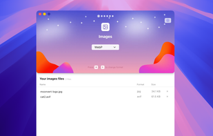
Moonvert is a local, open-source file converter for macOS that allows you to batch convert images, audio, video, documents, configs, and geospatial files offline, ensuring your data is never uploaded to the cloud.
 +2
+2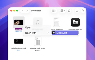 Best alternatives are10 alternatives
 File Converter