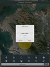
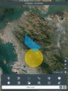
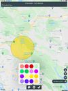
Mgrs & Utm Map is a GPS and coordinate system application designed to assist military personnel and outdoor enthusiasts with navigation, supporting various satellite systems and offering diverse map layers.

+5

Mgrs & Utm Map is a GPS and coordinate system application designed to assist military personnel and outdoor enthusiasts with navigation, supporting various satellite systems and offering diverse map layers.


Open-source application for Structure-from-Motion/Multiview Stereo/Synthetic Aperture/Photogrammetry fused depth maps with KWIVER algorithms. Uses metadata from GPS & IMU sensors or image/video keyframes. Estimates camera parameters and 3D landmarks.