

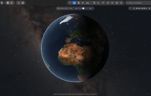
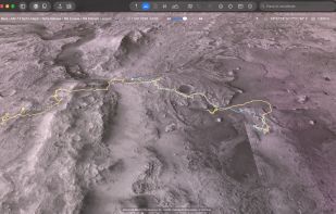
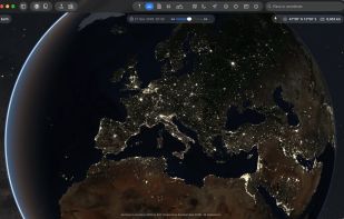
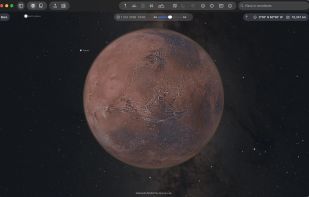
The Earth and its neighbors as a 3D globe and atlas for the Mac – maps and open geodata on real terrain.
 Germany
 EU



+15

Best alternatives are  OpenStreetMap
43 alternativesOpenStreetMap

The Earth and its neighbors as a 3D globe and atlas for the Mac – maps and open geodata on real terrain.
GermanyEUOpenStreetMap
 RomaniaEU


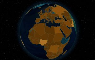
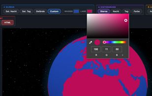
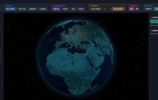
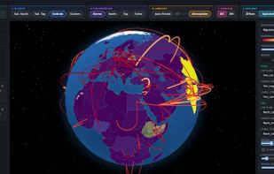
Turn any CSV into a rotating 3D globe. Choropleth maps, 3D columns, points & connection arcs — 244 countries, 19 palettes, 4 textures incl. NASA imagery. Export as PNG or standalone HTML. Fully offline, one-time purchase.



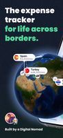
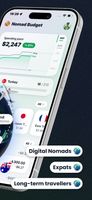
Expense tracker for digital nomads, expats and long-term travellers. One wallet per country in its own currency, one total in yours, and your journey on a 3D globe.
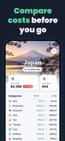

 Budget Board

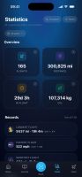
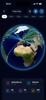
A flight diary for iPhone and Android: log every flight you take, see them on a 3D globe, and bring your history from Flighty, App in the Air or myFlightradar24.