Apps tagged with 'Apps with Offline Map' Page 2 of 4

All apps in Apps tagged with 'Apps with Offline Map' category. Use the filters below to narrow down your search. 
Copy a direct link to this comment to your clipboard
  1. GPXSee icon
     17 likes

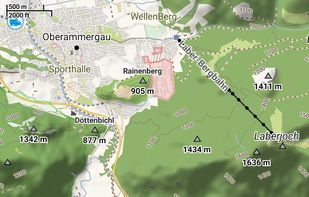
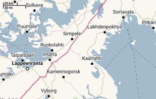
    GPXSee is a Qt-based GPS log file viewer and analyzer that supports GPX, TCX, KML, FIT, IGC and NMEA files.

    Cost / License

    Since

    • Since 2016

    Platforms

    • Windows
    • Mac
    • Linux
    • CZ flagCzechia
    • European Union flagEU
    GPXSee on Windows
    GPXSee on Mac OS X
    GPXSee on Linux
    82 alternatives
  2. PaintMyMap icon
     1 like

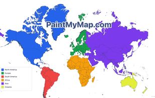
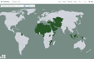
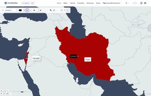
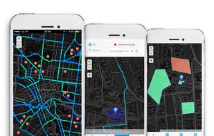
    A free online tool to create and customize maps. You can paint countries with colors, patterns, or textures, place shapes and SVGs, edit map structures, and even load your own data.

    Cost / License

    • Free
    • Proprietary

    Application type

    Since

    • Since 2025

    Platforms

    • Online
    • US flagUnited States
    PaintMyMap screenshot 1
    PaintMyMap screenshot 1
    PaintMyMap screenshot 2
    +2
    PaintMyMap screenshot 3
    8 alternatives
  3. Velorki icon
     2 likes

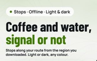
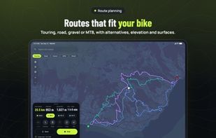
    Velorki is a bike route planner and navigator that does its routing on your phone. Your route is worked out on the device from OpenStreetMap data, so planning and turn-by-turn guidance keep working where the signal ends: in the mountains, abroad without roaming, or deep in the...

    Cost / License

    Application type

    Since

    • New

    Platforms

    • Online
    • Android
    • iPhone
    • iPad
    • Android Tablet
    • Apple Watch
    • US flagUnited States
    Velorki screenshot 1
    Velorki screenshot 1
    Velorki screenshot 2
    +15
    Velorki screenshot 3
    7 alternatives
  4. Pure Maps icon
     2 likes

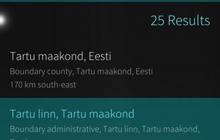
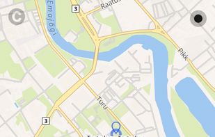
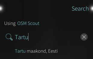
    Pure Maps is a full-featured map and navigation application allowing you to explore maps, search for addresses and points of interest, as well as assist with navigation.

    Cost / License

    Application type

    Since

    • Since 2019

    Platforms

    • Linux Mobile
    • Ubuntu Touch
    • Sailfish OS
    • FI flagFinland
    • European Union flagEU
    Pure Maps screenshot 1
    Pure Maps screenshot 1
    Pure Maps screenshot 2
    +6
    Pure Maps screenshot 3
    39 alternatives
  5. GMap.NET icon
     11 likes

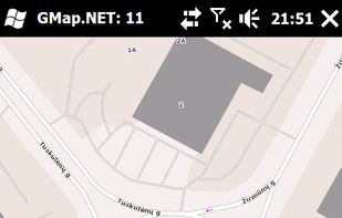
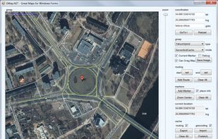
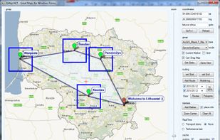
    GMap.NET is great and Powerful, Free, cross platform, open source .NET control. Enable use routing, geocoding, directions and maps from Google, Yahoo!, Bing, OpenStreetMap, ArcGIS, Pergo, SigPac, Yandex, Mapy.cz, Maps.lt, iKarte.
    Cost / License

    • Free
    • Open Source

    Application type

    Since

    • Since 2013

    Alerts

    • Discontinued

    Platforms

    • Windows
    • Windows Mobile
    • Global
    GMap.NET screenshot 1
    GMap.NET screenshot 1
    GMap.NET screenshot 2
    +5
    GMap.NET screenshot 3
    42 alternatives
  6. OpenMapTiles icon
     9 likes

    OpenMapTiles is a set of open-source tools for self-hosting of OpenStreetMap maps in more than 50 languages. It provides both raster as well as vector tiles, WMS and WMTS services for GIS programs, support for JavaScript viewers and mobile SDK.

    Cost / License

    • Freemium
    • Open Source

    Application type

    Since

    • Since 2018

    Platforms

    • Windows
    • Mac
    • Linux
    • Android
    • iPhone
    • CH flagSwitzerland
    OpenMapTiles screenshot 1
    24 alternatives
  7. Modest Maps icon
     13 likes

    Modest Maps is a small, extensible, and free library for designers and developers who want to use interactive maps in their own projects. It provides a core set of features in a tight, clean package with plenty of hooks for additional functionality.

    Cost / License

    • Free
    • Open Source

    Since

    • Since 2013

    Platforms

    • Windows
    • Mac
    • Linux
    • US flagUnited States
    Modest Maps screenshot 1
    54 alternatives
  8. MAPOG icon
     2 likes

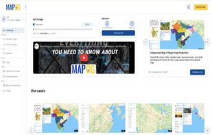
    MAPOG is an AI-powered interactive mapping platform that lets users create map-based stories, add images, videos, links, and details to pins, manage tasks, collect field data, sort locations by live position, and share or embed maps.

    Cost / License

    • Freemium
    • Proprietary

    Application type

    Since

    • Since 2024

    Platforms

    • Online
    • Software as a Service (SaaS)
    • IN flagIndia
    MAPOG Dashboard
    Hospital Campus with Complete Overview
    College Campus Map
    +15
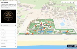
    A Complete Hotel Overview Map
    20 alternatives
  9. Offline navigation app covering over 100 countries, 3D landmarks, POIs, quick route calculation, junction view, and compact storage for reliable travel.

    Cost / License

    • Paid
    • Proprietary

    Application type

    Since

    • Since 2011

    Platforms

    • Android
    • iPhone
    • iPad
    • Android Tablet
    • HU flagHungary
    • European Union flagEU
    iGO Navigation screenshot 1
    iGO Navigation screenshot 2
    iGO Navigation screenshot 3
    46 alternatives
  10. Mapme icon
     29 likes

    Mapme is a no-code interactive map builder that lets anyone create beautiful, fully branded maps in minutes — no coding or GIS knowledge required.

    Cost / License

    • Paid
    • Proprietary

    Application type

    Since

    • Since 2015

    Platforms

    • Online
    • IL flagIsrael
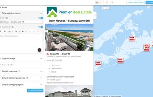
    Mapme editor screenshot
    Build a map
    42 alternatives
  11. Navmii icon
     8 likes

    Free navigation app with offline maps, live traffic, voice guidance, POI search, walking mode, and driver scoring, available in over 150 countries.

    Cost / License

    • Freemium
    • Proprietary

    Application type

    Since

    • Since 2012

    Platforms

    • Android
    • iPhone
    • iPad
    • Android Tablet
    • GB flagUnited Kingdom
    Navmii screenshot 1
    Navmii screenshot 2
    Navmii screenshot 3
    33 alternatives
  12. MapTiler Cloud icon
     13 likes

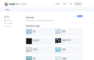
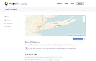
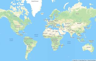
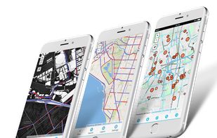
    Online maps for web, mobile apps and desktop software. You can change colors, add or remove particular map elements or enhance the map with own geodata.

    Cost / License

    • Freemium
    • Proprietary

    Application type

    Since

    • Since 2018

    Platforms

    • Online
    • CH flagSwitzerland
    After you crate a free account
    The services provided
    One of the base maps
    +4
    Satellite layer
    33 alternatives
  13. GIS Cloud icon
     3 likes

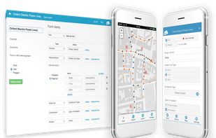
    GIS Cloud is a complete Online Mapping Solution for:
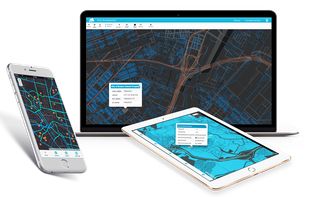
    • Field Data Collection
    • Data and Team Management
    • Map Editing and Sharing.

    Cost / License

    • Paid
    • Proprietary

    Application type

    Since

    • Since 2019

    Platforms

    • Online
    • Software as a Service (SaaS)
    GIS Cloud screenshot 1
    GIS Cloud screenshot 1
    GIS Cloud screenshot 2
    +1
    GIS Cloud screenshot 3
    20 alternatives
  14. Free GPS navigation app with offline OpenStreetMaps, voice guidance, speed limit and camera alerts, and route planning for over 200 countries.

    Cost / License

    • Freemium
    • Proprietary

    Application type

    Since

    • Since 2014

    Platforms

    • Windows
    • Android
    • iPhone
    • iPad
    • Android Tablet
    • Kindle Fire
    • Android Auto
    • Apple Car Play
    • HUAWEI AppGallery
    • CZ flagCzechia
    • European Union flagEU
    MapFactor Navigator screenshot 1
    MapFactor Navigator screenshot 2
    MapFactor Navigator screenshot 3
    29 alternatives
  15. CoPilot icon
     10 likes

    GPS navigation with offline maps, voice guidance, real-time traffic, multi-vehicle routing, truck restrictions, and up to three route choices after a free trial.

    Cost / License

    • Freemium
    • Proprietary

    Application type

    Since

    • Since 2009

    Platforms

    • Android
    • iPhone
    • iPad
    • Android Tablet
    • US flagUnited States
    CoPilot screenshot 1
    CoPilot screenshot 2
    CoPilot screenshot 3
    29 alternatives
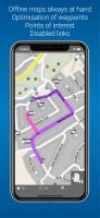
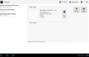
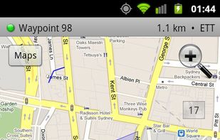
  16. Maverick icon
     4 likes

    Maverick is a GPS off-road navigation app for Android devices. It automatically caches all your maps for offline use so that you can access them even without an Internet connection. This app is great for hiking, boating, geocaching, and other outdoor activities.

    Cost / License

    • Freemium
    • Proprietary

    Application type

    Since

    • Since 2012

    Platforms

    • Android
    • AU flagAustralia
    Maverick screenshot 1
    Maverick screenshot 1
    Maverick screenshot 2
    +7
    Maverick screenshot 3
    22 alternatives
  17. Trekarta icon
     2 likes

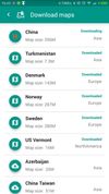
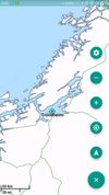
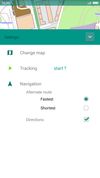
    Offline vector maps support hiking, cycling, skiing, off-roading; enables track recording and background navigation; map filtering, custom places, terrain contours.

    Cost / License

    Application type

    Since

    • Since 2021

    Platforms

    • Android
    • F-Droid
    • RU flagRussia
    Trekarta screenshot 1
    Trekarta screenshot 1
    Trekarta screenshot 2
    +9
    Trekarta screenshot 3
    47 alternatives
  18. GPS Logger icon
     1 like

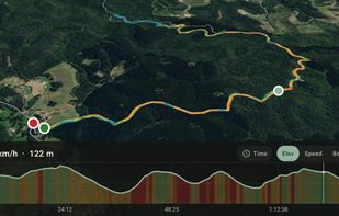
    No account. No sign-up. Just install GPS Logger, press record, and your walk, hike, ride, run, drive, or trip is saved to your own private history. Keep using your phone — it keeps tracking in the background. When you stop, your route, distance, time, and speed are saved.
    Cost / License

    • Freemium
    • Proprietary

    Application type

    Since

    • Since 2026

    Platforms

    • Android
    • Android Tablet
    GPS Logger screenshot 1
    GPS Logger screenshot 1
    GPS Logger screenshot 2
    1 alternative
  19. We-Travel icon
     3 likes

    Free navigation, 3D maps, voice guidance and tourist information always available on your java enabled mobile phone, without internet connection.

    Cost / License

    • Free
    • Proprietary

    Application type

    Since

    • Since 2010

    Alerts

    • Discontinued

    Platforms

    • Windows Mobile
    • Java Mobile
    • NL flagNetherlands
    • European Union flagEU
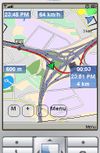
    Offline Navigation
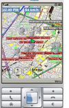
    OpenStreetMap Data
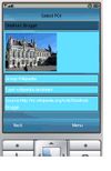
    POI Landmark
    16 alternatives
  20. MyTrails icon
     6 likes

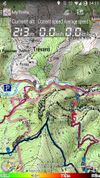
    Offline trail maps for Android (and online too!) Full-screen trail map oriented with the built-in compass Know exactly which direction you are going Uncluttered map area, with unobtrusive controls and a traditional scale with track duration and distance Record GPS tracks Visualiz.

    Cost / License

    • Freemium
    • Proprietary

    Application type

    Since

    • Since 2011

    Platforms

    • Android
    MyTrails screenshot 1
    MyTrails screenshot 2
    MyTrails screenshot 3
    42 alternatives
  21. Guru Maps icon
     2 likes

    Offline maps with monthly updates, turn-by-turn and voice navigation, real-time GPS tracking, fast multilingual search, millions of POI, and map downloads.

    Cost / License

    • Freemium
    • Proprietary

    Application type

    Since

    • Since 2022

    Platforms

    • Mac
    • Android
    • iPhone
    • iPad
    • Android Tablet
    • Android Auto
    • PL flagPoland
    • European Union flagEU
    Guru Maps screenshot 1
    Guru Maps screenshot 2
    Guru Maps screenshot 3
    56 alternatives
  22. Spectator icon
     3 likes

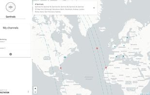
    Spectator simplifies access to satellite imagery from NASA, ESA and other providers. It gives you access to images archives, but also tracks satellites in real-time to give you information about next image acquisition.
    Cost / License

    • Free
    • Proprietary

    Application type

    Since

    • Since 2018

    Platforms

    • Online
    Spectator screenshot 1
    Spectator screenshot 1
    17 alternatives
  23. YourMapp icon
     1 like

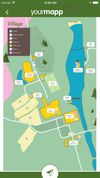
    YourMapp lets you turn your custom maps into an interactive app. Add hotspots to image-based maps, linking to more and information. Embed it on the web or create a branded app with features such as geolocation, offline storage and push notifications.

    Cost / License

    • Paid
    • Proprietary

    Application type

    Since

    • Since 2017

    Platforms

    • Online
    • Android
    • iPhone
    • iPad
    YourMapp screenshot 1
    YourMapp screenshot 2
    YourMapp screenshot 3
    21 alternatives
  24. PocketMaps icon
     1 like

    Free offline navigation app using OSM data, Mapsforge-vtm for rendering, Graphhopper for routing, map downloads, turn-by-turn directions, and no ads.

    Cost / License

    • Free
    • Open Source (MIT)

    Application type

    Since

    • Since 2019

    Alerts

    • Discontinued

    Platforms

    • Android
    • F-Droid
    • CN flagChina
    PocketMaps screenshot 1
    PocketMaps screenshot 2
    PocketMaps screenshot 3
    38 alternatives
  25. Treader icon
     3 likes

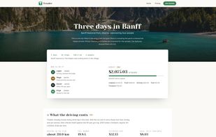
    Treader is a collaborative travel planner built around a real map. You drop places on it, drag them into days, and everyone on the trip edits the same plan at the same time. Cursors, comments, chat and a change log are built in, so nobody is copying a Google Doc into a group...

    Cost / License

    • Freemium
    • Proprietary

    Application type

    Since

    • New

    Platforms

    • Online
    • CA flagCanada
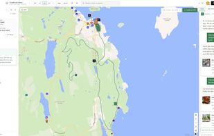
    See what a trip looks like planned out with friends.
    A trip in practice with budgets, Scout AI, and different forms of transportation between stops.
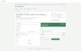
    Upload flight itineraries and have a claim ready in seconds.
    +7
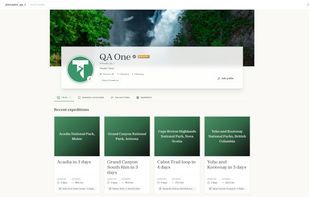
    Share trips and learn about hole-in-the-wall spots shared with the community.
    6 alternatives