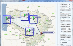
This program allows work with any maps service if you can describe getting picture by longitude/latitude(if you want you can write config file or simplepascal script to describe how obtain needle photos).
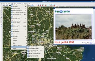


Yahoo! Maps has been discontinued. Similar sites and apps include OpenStreetMap, which is free and open source. Other options are Google Maps, Google Earth, Waze and HERE WeGo. There's no shortage of Map Services like Yahoo! Maps, with more than 25 alternatives for Android, iPhone, iPad, Windows and Mac.
This program allows work with any maps service if you can describe getting picture by longitude/latitude(if you want you can write config file or simplepascal script to describe how obtain needle photos).

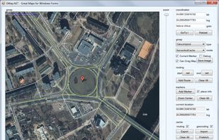
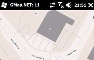
GMap.NET is great and Powerful, Free, cross platform, open source .NET control. Enable use routing, geocoding, directions and maps from Google, Yahoo!, Bing, OpenStreetMap, ArcGIS, Pergo, SigPac, Yandex, Mapy.cz, Maps.lt, iKarte.



Badger enables the sales team to manage their territory by combining Google Maps, data from the CRM, schedule planning, route optimization, and lead generation on the sales person’s mobile device.
 United States


Modest Maps is a small, extensible, and free library for designers and developers who want to use interactive maps in their own projects. It provides a core set of features in a tight, clean package with plenty of hooks for additional functionality.
United States


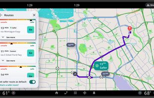
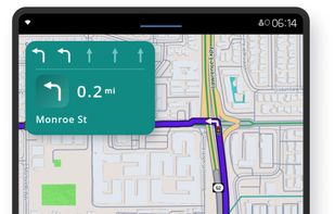
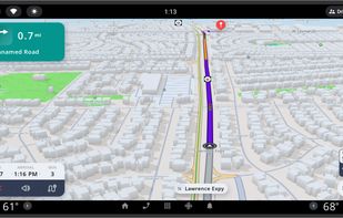
Free navigation and traffic app offering offline OpenStreetMap-based maps, live traffic updates, voice guidance, automatic rerouting, walking mode, driver analytics, HD maps, POI searches with Foursquare integration, in more than 150 countries worldwide.
 United Kingdom
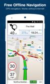
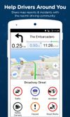



Offers turn-by-turn GPS voice navigation, live traffic updates, customizable routing, group chat, real-time location and ETA sharing, commute alerts, meet-up planning, pit stop features, access to local amenities, hands-free operation, and privacy controls for location sharing.
United States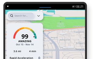


Maximize the use of your Excel spreadsheet data. Make mapping the easiest. Transform Excel data into visual analysis. We lead in data simplification and presentation. We are committed to deliver the tools needed to outpace competition.
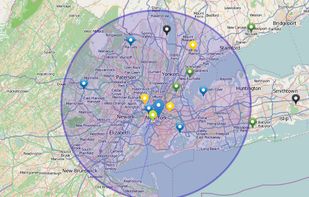
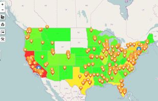


Use ZeeMaps to create, make, and publish interactive, customized maps. Make a map of places you have visited, your customers, friends, or relatives. Create a map of garage sales or crimes in your neighborhood, map your news story or wedding location.
United States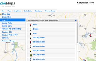


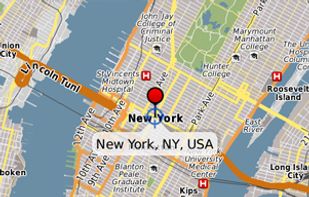
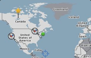
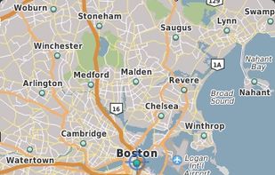
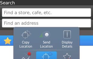
Chart your own course with built-in GPS (Global Positioning System) featured in selected BlackBerry smartphones.
 Canada


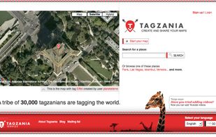
Tagzania is an application that helps you saving your places of the world. Using Tagzania you can save the place where you were first kissed, where you were born or where you work. You decide what to save



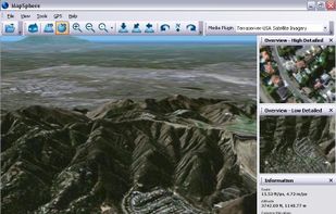
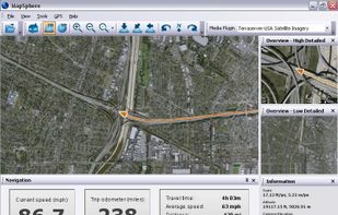
MapSphere is a manageable way to view and organize geographical data of different kind. This might be raster maps and satellite imagery from various sources, your own information received from GPS, tracks of your friends, whatever you want.