


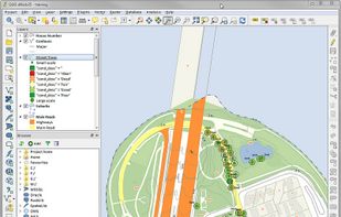
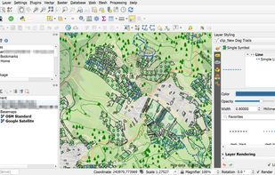
A fully featured, user friendly, open source Geographic Information System (GIS) with similar power to ArcGIS and MapInfo.
 Switzerland



+9


Apps similar to vMAP Portal include QGIS, which is free and open source. Other options are Mapbox Studio, ArcGIS, Felt and CartoDB. You can choose from more than 10 Map Services like vMAP Portal for the web, Windows, Linux, Android and Mac.
A fully featured, user friendly, open source Geographic Information System (GIS) with similar power to ArcGIS and MapInfo.
Switzerland
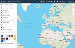
Design personalized maps with extensive Open Street Map data, integrating them into web and mobile platforms. Utilize styling tools for custom aesthetics, support real-time data overlays, 3D terrain, geospatial analytics, and encourage collaboration for comprehensive mapping solutions.
 United States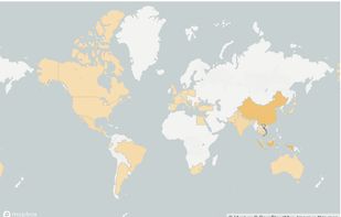
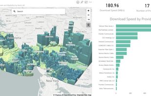


ArcGIS offers unique capabilities and flexible licensing for applying location-based analytics to your business practices.
United States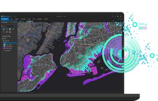


A location intelligence and visualization engine that empowers you to effortlessly transform data into insights. With CartoDB, connect and map location data, quickly customize your visualizations, and develop powerful location based apps.


Equator is online mapping software that allows anyone to find, create and publish maps in minutes. One globe, unlimited maps.
 United Kingdom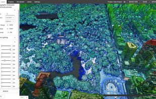
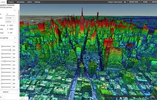
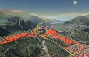
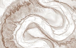


Maximize the use of your Excel spreadsheet data. Make mapping the easiest. Transform Excel data into visual analysis. We lead in data simplification and presentation. We are committed to deliver the tools needed to outpace competition.
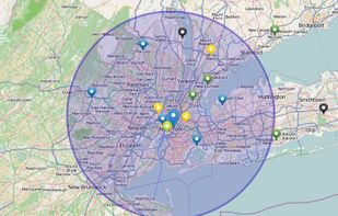
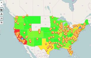


Map3 is a decentralised map network that is impartial, secure and extremely robust. It is free from control, free to participate, free base map. It is built to be governed by the Map3 community where individuals and organisations can host Map3 nodes.
 Belgium
 EU
EU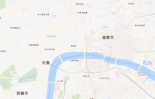


Mapotic is an innovative cloud platform that offers a wide range of map-based products and services to organizations globally, enabling them to effectively leverage the full potential of geolocation data.
 CzechiaEU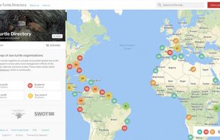
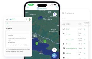
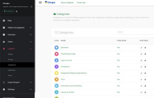


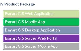
bSmart GIS is a web-based GIS application software. It contains over 350 features and tools that can be used for Geo-spatial data management as well as analysis, image processing. For Electricity, Water, Gas, Telecom and Renewable Energy.
United Kingdom




 Spain
Spain


