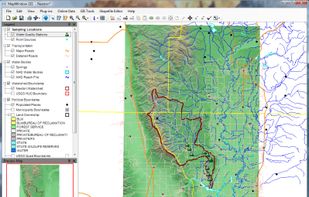
The reference implementation of the Open Geospatial Consortiums WFS and WMS services, GeoServer is a full featured open source software server written in Java that allows users to query, visualize, combine, edit and publish spatial data over the web.
uDig Alternatives
uDig is described as 'GIS software program produced by a community led by Canadian-based consulting company Refractions Research. It is based on the Eclipse platform and features full layered open source GIS. It is written in Java and released under GNU Lesser General Public License' and is a GIS software in the travel & location category. There are more than 25 alternatives to uDig for a variety of platforms, including Windows, Web-based, Linux, Mac and Self-Hosted apps. The best uDig alternative is QGIS, which is both free and Open Source. Other great apps like uDig are OpenFreeMap, Mapbox Studio, VersaTiles and what3words.
Alternatives list
 23 GeoServer alternatives


SAGA - System for Automated Geoscientific Analyses - is a Geographic Information System (GIS) software with immense capabilities for geodata processing and analysis. SAGA is programmed in the object oriented C++ language and supports the implementation of new functions with a...


Maximize the use of your Excel spreadsheet data. Make mapping the easiest. Transform Excel data into visual analysis. We lead in data simplification and presentation. We are committed to deliver the tools needed to outpace competition.
Cost / License
- Freemium
- Proprietary
Platforms
- Mac
- Windows
- Online


MapWindow is a fully free and open source geographic information system project. It includes an open source programming component, MapWinGIS ActiveX, and an extensible desktop application that supports plug-ins written in .NET (C# and VB.NET).


gvSIG is a Geographic Information System (GIS), that is, a desktop application designed for capturing, storing, handling, analyzing and deploying any kind of referenced geographic information in order to solve complex management and planning problems.


MapServer is an Open Source platform for publishing spatial data and interactive mapping applications to the web. Originally developed in the mid-1990’s at the University of Minnesota, MapServer is released under an MIT-style license, and runs on all major platforms (Windows...


MapInfo Professional is a powerful, functionally rich desktop mapping application from Pitney Bowes MapInfo, designed to enable organisations to solve business problems that have a geographical element.

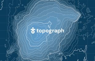
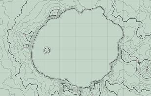
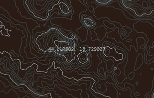
Topograph turns real elevation data into clean, customizable topographic graphics. Generate from data, upload your own sources, or search any location. Adjust contour density, styles, and color, then export as SVG, PNG, PDF, GeoJSON, DXF, or STL. Runs client-side.
 +2
+2


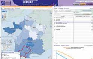
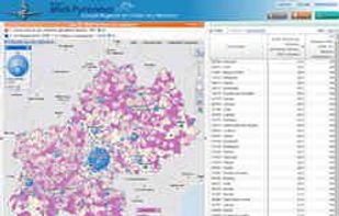
The Géoclip interactive mapping solution is proposed by EMC3. Géoclip permits to publish online thematic atlas or territorial observatories. Géoclip allows you to build web mapping applications for cartographic representations of statistical data.

 51 Map3 alternatives
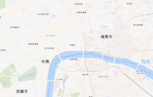
Map3 is a decentralised map network that is impartial, secure and extremely robust. It is free from control, free to participate, free base map. It is built to be governed by the Map3 community where individuals and organisations can host Map3 nodes.