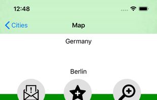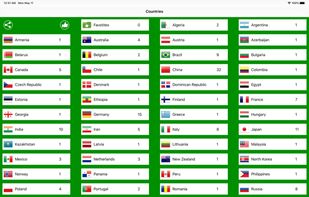


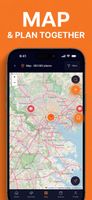
A lightweight, private, and fully customizable map app based on OpenStreetMap. Change your perspective, plan routes, explore areas in 3D, and export views without tracking.
 Poland
 EU


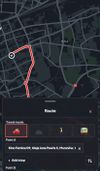




Apps similar to Transportr include Google Maps, which has a free version. Other options are Magic Earth, HERE WeGo, GMaps WV and Apple Maps. You're spoiled for choice with Map Services like Transportr: we list more than 50 alternatives for Android, iPhone, the web, iPad and Windows.
A lightweight, private, and fully customizable map app based on OpenStreetMap. Change your perspective, plan routes, explore areas in 3D, and export views without tracking.
PolandEU
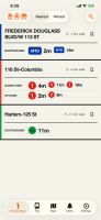
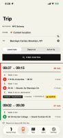
Shows nearby transit departures with live countdowns and walking directions, then plans door-to-door journeys by train, bus, and ferry. Routes can prioritize speed, fewer changes, or less walking, while on-device planning keeps trip locations private across 130+ networks.
 United States
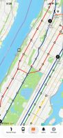


TrailDrop is a lightweight GPX open and sharing platform for outdoor enthusiasts, creators, and clubs. Upload your GPS track, generate a link, and share it instantly without requiring others to sign up.
PolandEU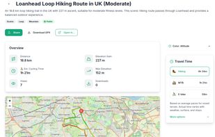


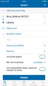
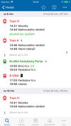
IDOS timetables websites is one of the outputs of the National information system of timetables (CIS JR), operated under auhority of Ministry of Transport of the Czech Republic by the company CHAPS Ltd.
 CzechiaEU



A food and spot app that organizes your favorites into a nearby radar, visual Spaces, and features an embedded AI assistant named T.R.A.V.I.S.
United States



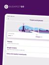
The FUTÁR application by BKK Centre for Budapest Transport has been renewed under the name BudapestGO, which, in addition to real-time route planning, has been extended with new functions: you can buy digital single tickets, daily and weekly travelcards or passes in the...
 HungaryEU






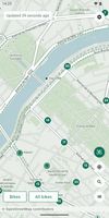
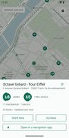
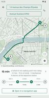
Offline Android app for shared-bike maps and walk–bike–walk journey planning across hundreds of GBFS networks. It downloads maps, routing and address data per city, checks live bikes and docks when connected, supports multiple cities, and runs without tracking.
 FranceEU


A convenient application for travelers! It includes non-interactive transit maps of different cities in the world (without any additional download of maps).
 SlovakiaEU