TdhGIS Alternatives
TdhGIS is described as 'Vector Based Spatial Analysis' and is an app in the photos & graphics category. There are more than 25 alternatives to TdhGIS for a variety of platforms, including Windows, Web-based, Linux, Mac and Self-Hosted apps. The best TdhGIS alternative is QGIS, which is both free and Open Source. Other great apps like TdhGIS are what3words, ArcGIS, Placemark and Plus Codes.
Alternatives list

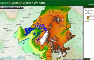
Supergeo Technologies Inc. is global leading GIS software & total solution provider. With series GIS products covering from desktop, mobile, server to developer SDK, SuperGIS has been utilized more than 100 different countries.

 +3
+3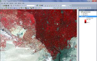


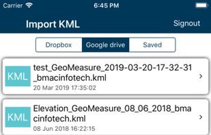
 13 KML viewer and converter alternatives
KML to KMZ, Geojson, Topojson, GPX, CSV, converter now available on the app store feel free to download because it's fully free. convert any compatible file format.

 +1
+1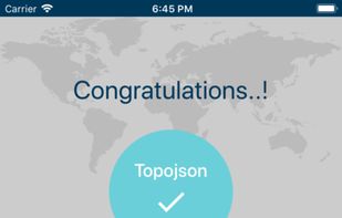


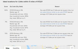
ZoneSavvy helps brick-and-mortar businesses expand by using supply-and-demand data to identify the best potential neighborhoods for their new location.
Cost / License
- Paid
- Proprietary
Platforms
- Online


Blue Spatial is an ESRI Geoservices REST Implementation. Blue Spatial is a drop in replacement for ArcGIS Server that works with all ESRI API's and ArcGIS Desktop. Blue Spatial was created as an alternative to ArcGIS Server for organizations that have existing investments /...


Spatial Feature Server by MapET is an ESRI Geoservices REST Implementation and works with all ESRI Rest API's. The source of published data is the spatial extension of the major RDBMS, such Oracle, Microsoft SQLServer, MySQL, PostgreSQL.


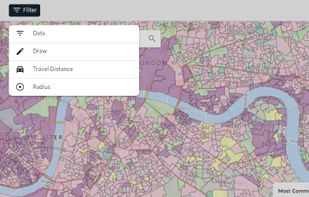
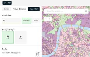
Spotzi is an easy-to-use online geomarketing platform you can try for FREE. Spotzi has a short learning curve, so you don't have to be a data scientist to work with Spotzi. Our main goal is to find your best-fit customers in just a few clicks.
Cost / License
- Freemium
- Proprietary
Application type
Platforms
- Mac
- Windows
- Linux
- Online
- Android
- iPhone
- Android Tablet
- Windows Phone
- iPad
 +1
+1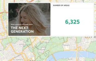


ASPECTUM is a cloud- based solution for location data visualization and analysis. ASPECTUM allows working with geospatial data in the format of points, lines and polygons, providing high-quality data analytics for converting it into valuable business outcomes.
 +3
+3


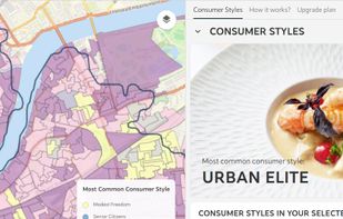
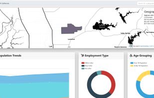
Corgilytics allows non-technical users to explore geographies using demographic, psychographic and other useful data sets.
 +2
+2


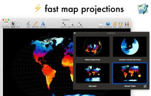
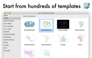
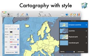
Magic Maps is a simple mapping and data-analysis package for macOS, with a focus on ease-of-use and clean, Mac-native graphics.
 +2
+2