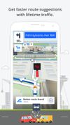
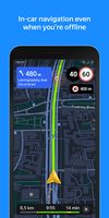
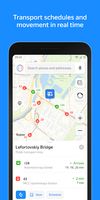
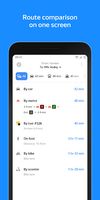
Yandex.Maps gives you access to maps of over 1800 cities and towns right in your pocket. Find addresses and companies. Plan your journeys in a car or on public transport taking current traffic conditions into account.
 Russia




Apps similar to Scout by Telenav include Google Maps, which has a free version. Other options are OsmAnd, Waze, Magic Earth and MAPS.ME. You're spoiled for choice with GPS Navigation Services like Scout by Telenav: we list more than 50 alternatives for Android, iPhone, iPad, the web and Windows.
Yandex.Maps gives you access to maps of over 1800 cities and towns right in your pocket. Find addresses and companies. Plan your journeys in a car or on public transport taking current traffic conditions into account.
Russia
Streets GL is a real-time 3D map renderer built for visualizing OpenStreetMap data with a heavy focus on eye-candy features.






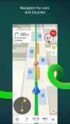
2GIS provides 3D-maps of 180+ cities, contacts of 1.5 million companies, car routing and public transport routes and and more! 2GIS is a complete and up-to-date directory of organizations with detailed cities’ maps.
Russia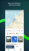



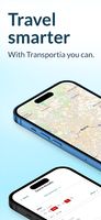
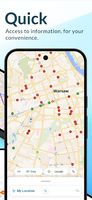
Transportia is a modern travel companion designed to make public transportation easier and more accessible.
 Czechia
 EU



Features voice-guided GPS navigation, live vector maps, up-to-date satellite imagery, real-time traffic with automatic reroutes, route alternatives, cost comparisons, transit support, POI search, hotel and food booking, gas price checking, weather, and roadside assistance.
 United States
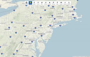
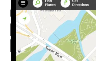
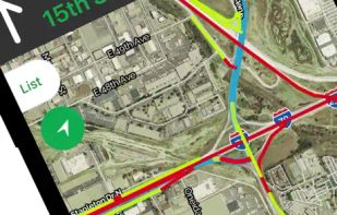


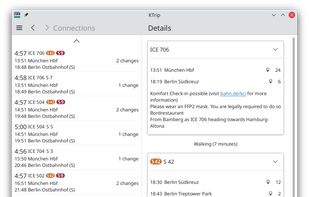
Public transport navigator that finds journeys between specified locations, and shows departures and real-time delay information.
 GermanyEU


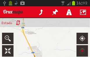
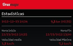
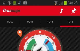
OruxMaps is an online/offline map viewer and track logger for Android. You can use OruxMaps for your outdoor activities (running, trekking, mountain bike, paragliding, flying, nautic sports, etc.)
Features:
Online map viewer The tiles used online can be cached, and can be used.
 SpainEU


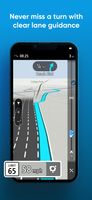
GPS software offering real-time traffic data, customizable navigation for cars and trucks, offline maps, speed alerts, lane guidance, and Apple CarPlay. Supports smart journeys and truck-specific needs like rest-stop finding and dangerous cargo inputs.
 NetherlandsEU








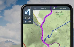
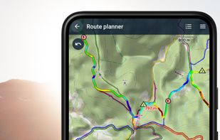
Create, plan, edit, record, save or share your trips, keep the memories, track your performance, and much more. Locus Map is designed for hiking, mountain biking, cycling, running, geocaching, cross-country skiing, and other outdoor activities.
CzechiaEU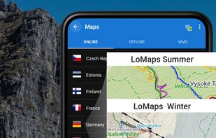
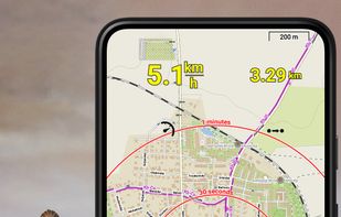


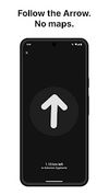
Arrow is a lightweight navigation app designed for travellers who want to explore without distractions. Instead of a map, you get a clean arrow that always points you in the right direction - no zooming, dragging, or rerouting needed.




Offline TomTom 3D maps, turn-by-turn voice navigation, frequent free updates, live traffic, speed camera alerts, HUD projection, safety warnings, parking tips, fuel prices, junction views, pedestrian routes, audio integration, dashcam, and extensive POI support.
 SlovakiaEU