

Explore Earth from space to sea with detailed satellite imagery, 3D buildings, and ad-free service. Save toured places, share them, and explore offline all points of interest around the globe.
 United States
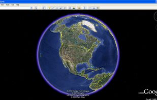

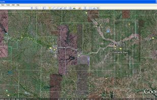

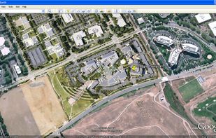





Apps similar to RustGIS include Google Earth, which is free for personal use. Other options are OSM Scout, PeakOrama, Komoot and AllTrails. You can choose from more than 10 Map Services like RustGIS for the web, Android, Windows, iPhone and Linux.
Explore Earth from space to sea with detailed satellite imagery, 3D buildings, and ad-free service. Save toured places, share them, and explore offline all points of interest around the globe.
United States
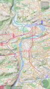
Goal of this project is to bring offline maps and navigation to Sailfish OS with native look and feel. OSM Scout for Sailfish OS is based on OSM Scout library.
 Czechia
 EU
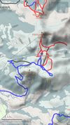
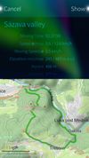


Komoot is the key to the outdoors. Just plan your hiking, road cycling or MTB adventures in the planner, and be guided along every trail, track, road or path—even when you’re offline. Get your first region for free and say hello to your next adventure!
 GermanyEU

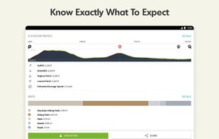
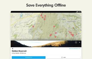
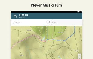


Explore the outdoors with AllTrails! Discover nature with hiking, biking, backpacking and running trails around the world. Log your hike, walk, run or mountain bike ride with our GPS activity tracker. Looking for a good spot for camping or backpacking?
United States



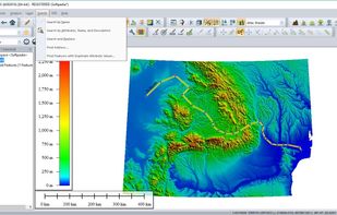
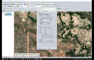
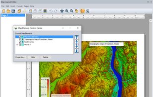
Global Mapper is a cutting-edge GIS software that provides both novice and experienced geospatial professionals with a comprehensive array of spatial data processing tools, with access to an unparalleled variety of data formats.
United States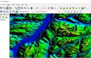


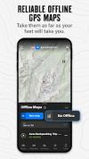
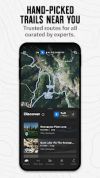
Provides detailed offline GPS navigation, 24k topo and satellite maps, custom waypoints, route planning, weather, 650,000+ hiking trails, public land boundaries, slope angles, campsite info, recreational site data, and over 450,000 points of interest for outdoor use.
United States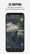


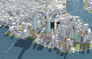
F4map provides tailored 2D and 3D map solutions with accurate geo-localized content, highlighting famous buildings, real-time effects, 3D animations, and user collaboration, accessible without plugins and available on mobile devices. Seamless data integration enhances functionality.
 FranceEU





GRASS GIS (Geographic Resources Analysis Support System) is an open source, free software (FOSS) Geographical Information System (GIS) with raster, topological, vector, image processing, and visualization functionality.
United States
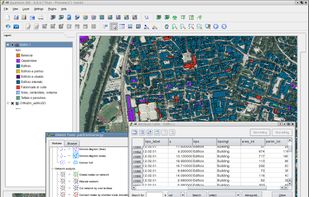


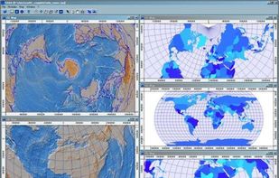
SAGA - System for Automated Geoscientific Analyses - is a Geographic Information System (GIS) software with immense capabilities for geodata processing and analysis. SAGA is programmed in the object oriented C++ language and supports the implementation of new functions with a...


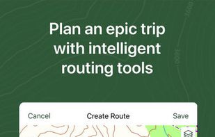
Plan trips and record GPS tracks for free, with the best outdoor app. Browse hiking trail maps, hunting units, and scout offroad camping trips.
United States



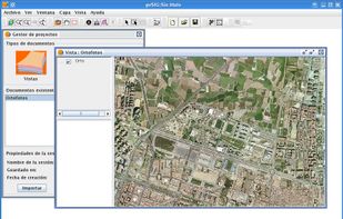
gvSIG is a Geographic Information System (GIS), that is, a desktop application designed for capturing, storing, handling, analyzing and deploying any kind of referenced geographic information in order to solve complex management and planning problems.
 SpainEU