



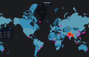
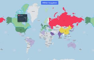
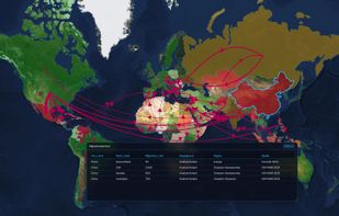
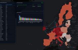
Turn CSV & Excel data into interactive map analytics dashboards — choropleth, bubbles, heatmaps, connection lines & more. 10 map styles, export to HTML/PDF/PPTX. Fully offline, no cloud, no subscription. One-time purchase.



+3





The best GIS alternative to QGIS is ArcGIS. It's not free, so if you're looking for a free alternative, you could try Overpass Turbo or GRASS GIS. If that doesn't suit you, our users have ranked more than 50 alternatives to QGIS and many of them are GIS Software so hopefully you can find a suitable replacement. Other interesting GIS Software alternatives to QGIS are Global Mapper, Maptitude, MapInfo Professional and gvSIG Desktop.
Turn CSV & Excel data into interactive map analytics dashboards — choropleth, bubbles, heatmaps, connection lines & more. 10 map styles, export to HTML/PDF/PPTX. Fully offline, no cloud, no subscription. One-time purchase.

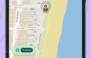
Mobile app for Mergin Maps 📲. Open QGIS projects and manage vector data on your phone, even offline 📶 (Android/iOS/Windows app).
 Czechia
 EU



The new standard for GIS software. Simple and powerful. Step into Atlas to explore, analyze and share geospatial data.
 Norway


ASPECTUM is a cloud- based solution for location data visualization and analysis. ASPECTUM allows working with geospatial data in the format of points, lines and polygons, providing high-quality data analytics for converting it into valuable business outcomes.
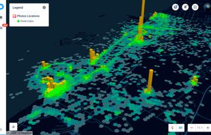


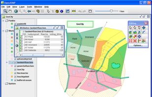
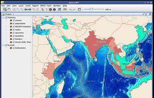
OpenJUMP is an open source Geographic Information System (GIS) written in the Java programming language. It is developed and maintained by a group of volunteers from around the globe.
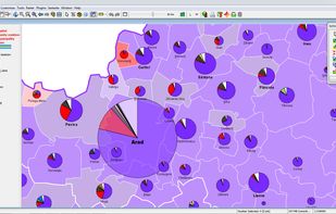


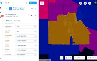
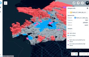
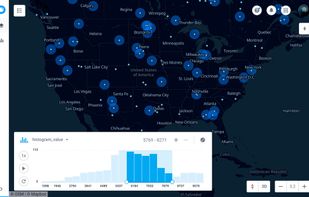
A location intelligence and visualization engine that empowers you to effortlessly transform data into insights. With CartoDB, connect and map location data, quickly customize your visualizations, and develop powerful location based apps.


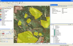
uDig is a GIS software program produced by a community led by Canadian-based consulting company Refractions Research. It is based on the Eclipse platform and features full layered open source GIS. It is written in Java and released under GNU Lesser General Public License.
 Canada


MapServer is an Open Source platform for publishing spatial data and interactive mapping applications to the web. Originally developed in the mid-1990’s at the University of Minnesota, MapServer is released under an MIT-style license, and runs on all major platforms (Windows...


The GEOCONCEPT solution was designed first and foremost to respond to expectations of users who wanted to leverage the power of geographical data to the fullest.
 FranceEU


 United States







 Spain


 United Kingdom


