

Explore Earth from space to sea with detailed satellite imagery, 3D buildings, and ad-free service. Save toured places, share them, and explore offline all points of interest around the globe.
 United States
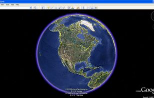

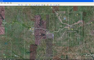

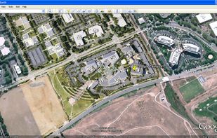


Apps similar to Mergin Maps include Google Earth, which is free for personal use. Other options are QGIS, Kugelblitz, Snappy Mapper and QField. You can choose from more than 10 GIS Software apps like Mergin Maps for Mac, iPhone, iPad, Windows and Linux.
Explore Earth from space to sea with detailed satellite imagery, 3D buildings, and ad-free service. Save toured places, share them, and explore offline all points of interest around the globe.
United States
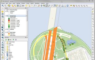
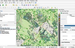
A fully featured, user friendly, open source Geographic Information System (GIS) with similar power to ArcGIS and MapInfo.
 Switzerland



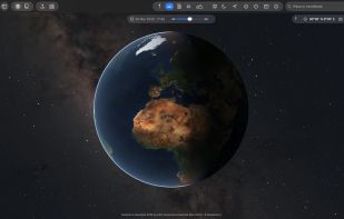
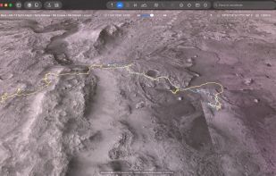
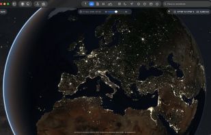
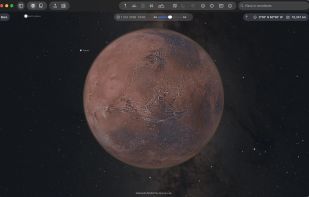
The Earth and its neighbors as a 3D globe and atlas for the Mac – maps and open geodata on real terrain.
 Germany
 EU


Snappy Mapper lets non-GIS users create geospatial vector data via a simple interface. Collect points and polygons, then export or access them via API — no GIS skills needed.
 United Kingdom
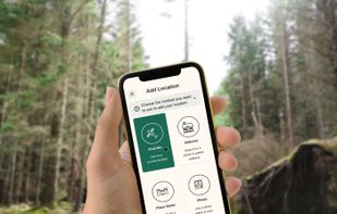
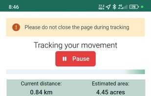


Open Source mobile GIS app for spatial surveying and fieldwork. Allows collecting and managing geospatial data while integrating with QGIS and QFieldCloud.




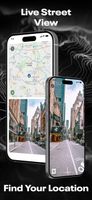
Street View – World Explorer transforms your iPhone into a window to the planet. Move from a map to real street-level imagery with a single tap, and experience places as if you’re standing right there. No complicated tools, no clutter—just pure exploration.
United States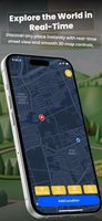

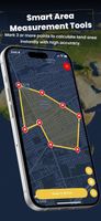


HooMap is a browser-based tool designed to transform CSV and Excel coordinate data into interactive maps in seconds. Built for researchers, students, and data enthusiasts, it allows you to visualize spatial data directly in your workflow without the need for complex GIS software...
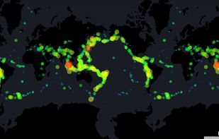
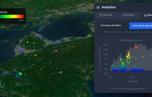
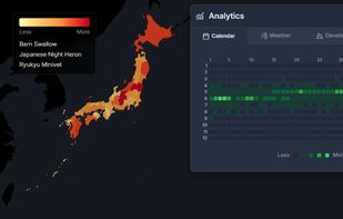
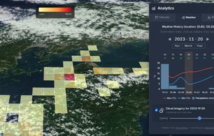


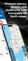
Explore the world in real-time with Live Earth Camera Earth3D. View 3D Earth maps, live street view, famous landmarks, and nearby places all in one navigation app.
United States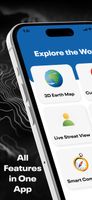


Earth Organizer helps people with large Google Earth Pro collections get them back in order. Move many placemarks at once, search the whole collection, sort from the map by pasting a screenshot, find duplicates and broken folders, and prepare everything for Google Earth Web: a...
GermanyEU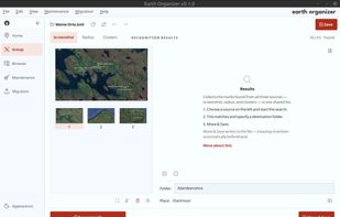


Offline-first field data collection app for renewable energy and environmental work: GPS-tagged notes, photos, checklists, offline maps and AI-generated reports.