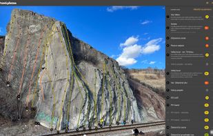
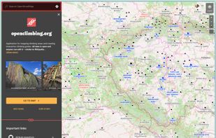
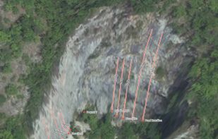
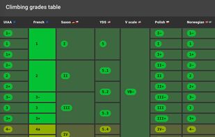
Application for mapping climbing areas and creating interactive climbing guides. All data is open and anyone can edit it – similar to Wikipedia.



+3


Apps similar to MAPS.ME include CoMaps, which is free and open source. Other options are OpenStreetMap, Organic Maps, Google Maps and OsmAnd. You're spoiled for choice with Map Services like MAPS.ME: we list more than 50 alternatives for Android, the web, iPhone, iPad and Windows.
Application for mapping climbing areas and creating interactive climbing guides. All data is open and anyone can edit it – similar to Wikipedia.

Web-based platform for trip planning offering live traffic info, multiple route options, device syncing, integration with mobile navigation, commute delay monitoring, map interactivity, vehicle type support, route optimization, experimental features, and secure account settings.
 Netherlands
 EU
EU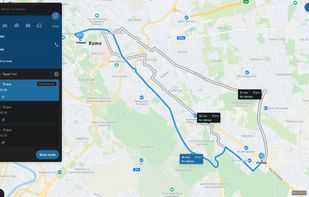


Offline desktop map viewer featuring vector OpenStreetMap data, navigation, GPX track import/export, elevation and contour display, customizable map layers, waypoint tools, and efficient handling of large files for outdoor, hiking, or off-road planning and navigation.
 GermanyEU


Explore the world with Mapcarta. The open map that unites the world, with the collective knowledge of OpenStreetMap, Wikipedia, Wikidata and other open projects.
 United States






Android navigation app with high-quality offline HD maps, voice-guided turn-by-turn directions, speed and lane guidance, POI search by category, supports driving, biking and walking, automatic rerouting, itinerary planning, and multilingual interface for travelers.
 RomaniaEU

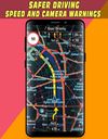


A convenient application for travelers! It includes non-interactive transit maps of different cities in the world (without any additional download of maps).
 SlovakiaEU

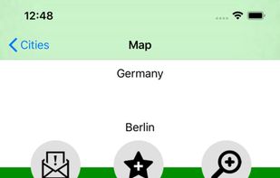
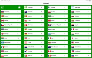


Arrow is a lightweight navigation app designed for travellers who want to explore without distractions. Instead of a map, you get a clean arrow that always points you in the right direction - no zooming, dragging, or rerouting needed.





Comprehensive journey planning with global maps, real-time traffic updates, fuel prices, cost calculations, service station locations, GPS navigation, parking, electric charging, 3D maps, up to 15 stops per route, points of interest, and detailed amenities.
 FranceEU