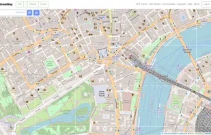
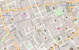
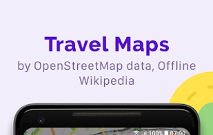
OpenStreetMap is a project aimed squarely at creating and providing free geographic data such as street maps to anyone who wants them. It is a free editable map of the whole world. It is made by people like you.
MapSCII is described as 'Mapping tool that enables users to explore geographic locations in a text-based format. It was specifically designed for visually impaired individuals who may have difficulty accessing and navigating traditional graphical maps' and is an app in the travel & location category. There are more than 25 alternatives to MapSCII for a variety of platforms, including Web-based, Android, iPhone, iPad and Android Tablet apps. The best MapSCII alternative is OpenStreetMap, which is both free and Open Source. Other great apps like MapSCII are Google Maps, OsmAnd, Google Earth and Waze.
OpenStreetMap is a project aimed squarely at creating and providing free geographic data such as street maps to anyone who wants them. It is a free editable map of the whole world. It is made by people like you.
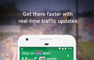
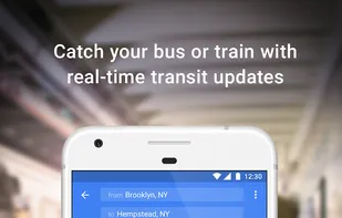
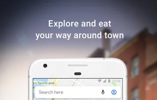
Explore the world with Google Maps using real-time traffic data, turn-by-turn navigation, panoramic street views, and comprehensive route planning for cycling, hiking, and public transport across various platforms, available offline with voice-guided alerts.

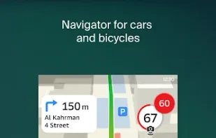
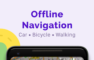
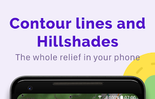
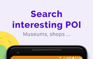
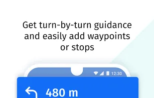
Navigation app offering offline and online OSM-based maps, turn-by-turn voice direction, driving, cycling, and walking modes, POI search, GPX track management, map overlays, monthly map updates by country or region, speed and safety features, and location sharing.
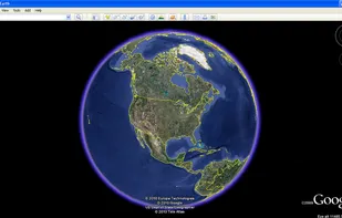
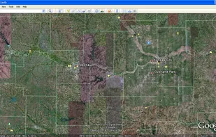
Explore Earth from space to sea with detailed satellite imagery, 3D buildings, and ad-free service. Save toured places, share them, and explore offline all points of interest around the globe.
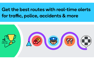
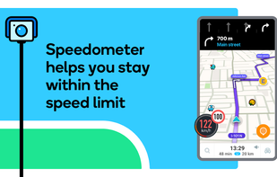
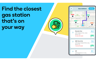
Experience real-time navigation with Waze's community-driven updates. Features like live traffic alerts, voice guidance, ETA sharing, automatic rerouting, and the ability to find cheap gas stations enhance your daily commute and travel efficiency.

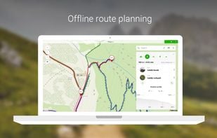
MAPS.ME offers the quickest offline maps of all the countries of the world. Travel with full confidence: wherever you are, MAPS.ME addresses all your offline mapping needs.

Explore the world in glorious 3D with HERE Maps. Discover new places, collect your favourite places, plan the perfect journey, and sync it all with your mobile phones.


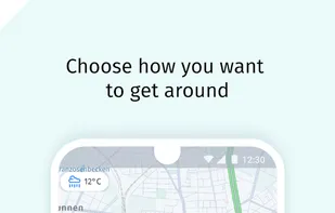
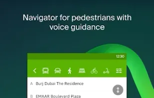
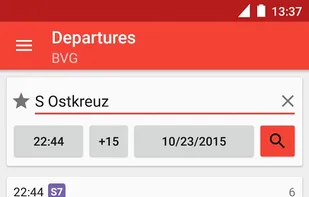
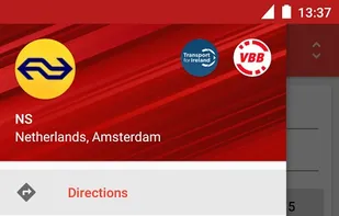
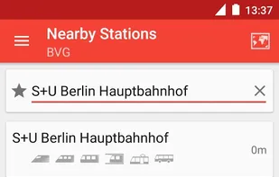
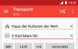
Transportr is the public transport companion that respects your privacy and your freedom. Transportr is a non-profit app developed by people around the world to make using public transport as easy as possible wherever you are.
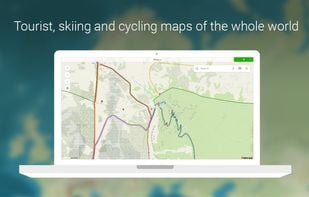
Offline global maps offer tourist, winter, and satellite views, offline search, route planning for travel modes, syncing trips, panoramic street photos, transit schedules, parking, amenities, fuel prices, tracker stats, water tourism info, and open hour details.
Privacy-focused WebView tool for accessing the Google Maps web interface, enforcing HTTPS, blocking trackers, clearing private data on close, supporting toggleable location access, offering step-by-step directions but no real-time navigation, and not clearing cache automatically.
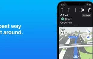
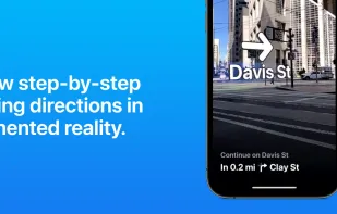
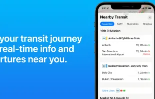
Navigate with voice-guidance and real-time transit data. Enjoy detailed traffic updates, 3D city exploration with Look Around and Flyover, and access indoor maps of public places, syncing across devices, and using CarPlay. Rated places with guides support seamless city exploration.

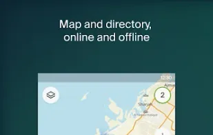
2GIS provides 3D-maps of 180+ cities, contacts of 1.5 million companies, car routing and public transport routes and and more! 2GIS is a complete and up-to-date directory of organizations with detailed cities’ maps.