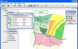
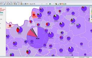
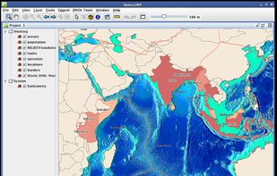
OpenJUMP is an open source Geographic Information System (GIS) written in the Java programming language. It is developed and maintained by a group of volunteers from around the globe.


GRASS GIS is described as '(Geographic Resources Analysis Support System) is an open source, free software (FOSS) Geographical Information System (GIS) with raster, topological, vector, image processing, and visualization functionality' and is a GIS software in the travel & location category. There are more than 25 alternatives to GRASS GIS for a variety of platforms, including Windows, Web-based, Linux, Mac and SaaS apps. The best GRASS GIS alternative is QGIS, which is both free and Open Source. Other great apps like GRASS GIS are what3words, ArcGIS, Plus Codes and Placemark.
OpenJUMP is an open source Geographic Information System (GIS) written in the Java programming language. It is developed and maintained by a group of volunteers from around the globe.