Find your way around the city and keep track of current traffic with your cell phone.
 Russia



+3



The best GPS Navigation alternative to Google Maps is CoMaps, which is both free and Open Source. If that doesn't suit you, our users have ranked more than 100 alternatives to Google Maps and loads of them are GPS Navigation Services so hopefully you can find a suitable replacement. Other interesting GPS Navigation Service alternatives to Google Maps are Organic Maps, OsmAnd, Cartes and Vela Maps.
Find your way around the city and keep track of current traffic with your cell phone.
Russia
GPS software offering real-time traffic data, customizable navigation for cars and trucks, offline maps, speed alerts, lane guidance, and Apple CarPlay. Supports smart journeys and truck-specific needs like rest-stop finding and dangerous cargo inputs.
 Netherlands
 EU





Goal of this project is to bring offline maps and navigation to Sailfish OS with native look and feel. OSM Scout for Sailfish OS is based on OSM Scout library.
 CzechiaEU
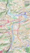
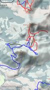



Join our community of 30 million riders helping improve transit routes in cities worldwide.
 Israel





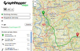
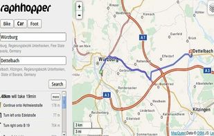
A fast driving directions API with world wide coverage. Based on open source software and OpenStreetMap. Stay independent and flexible.
 GermanyEU


Pure Maps is a full-featured map and navigation application allowing you to explore maps, search for addresses and points of interest, as well as assist with navigation.
 FinlandEU





Comprehensive journey planning with global maps, real-time traffic updates, fuel prices, cost calculations, service station locations, GPS navigation, parking, electric charging, 3D maps, up to 15 stops per route, points of interest, and detailed amenities.
 FranceEU





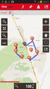
OruxMaps is an online/offline map viewer and track logger for Android. You can use OruxMaps for your outdoor activities (running, trekking, mountain bike, paragliding, flying, nautic sports, etc.)
Features:
Online map viewer The tiles used online can be cached, and can be used.
 SpainEU




Web-based platform for trip planning offering live traffic info, multiple route options, device syncing, integration with mobile navigation, commute delay monitoring, map interactivity, vehicle type support, route optimization, experimental features, and secure account settings.
NetherlandsEU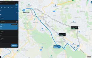


 United Kingdom





Public transport navigator that finds journeys between specified locations, and shows departures and real-time delay information.
GermanyEU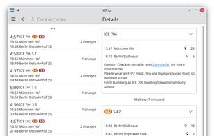


Provides GPS navigation for on-road and off-road journeys on Android and Linux, utilizing a forked libosmscout backend, with GPX reading and writing, compass, trip tracker, road routing, POI database, offline mapping, data import/export, and suitable for outdoor activities.
FranceEU