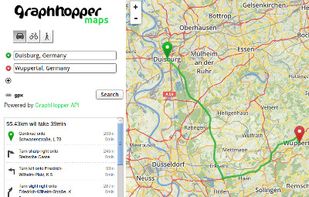
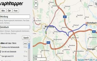
A fast driving directions API with world wide coverage. Based on open source software and OpenStreetMap. Stay independent and flexible.
Cost / License
- Freemium (Pay once)
- Open Source
Application typeApplication types
Since
- Since 2014
 Germany
 EU



There are many alternatives to Google Maps for Android if you are looking for a replacement. The best Android alternative is CoMaps, which is both free and Open Source. If that doesn't suit you, our users have ranked more than 100 alternatives to Google Maps and loads of them are available for Android so hopefully you can find a suitable replacement. Other interesting Android alternatives to Google Maps are Organic Maps, OsmAnd, Vela Maps and Waze.
A fast driving directions API with world wide coverage. Based on open source software and OpenStreetMap. Stay independent and flexible.
GermanyEU
Comprehensive journey planning with global maps, real-time traffic updates, fuel prices, cost calculations, service station locations, GPS navigation, parking, electric charging, 3D maps, up to 15 stops per route, points of interest, and detailed amenities.
 FranceEU





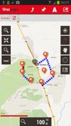
OruxMaps is an online/offline map viewer and track logger for Android. You can use OruxMaps for your outdoor activities (running, trekking, mountain bike, paragliding, flying, nautic sports, etc.)
Features:
Online map viewer The tiles used online can be cached, and can be used.
 SpainEU




 United Kingdom





Public transport navigator that finds journeys between specified locations, and shows departures and real-time delay information.
GermanyEU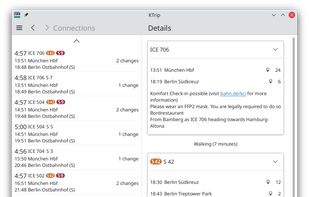


Provides GPS navigation for on-road and off-road journeys on Android and Linux, utilizing a forked libosmscout backend, with GPX reading and writing, compass, trip tracker, road routing, POI database, offline mapping, data import/export, and suitable for outdoor activities.
FranceEU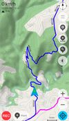
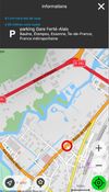
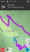


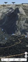
Ascend Maps is an open-source and privacy-friendly application for maps and GPS featuring 3D terrain, offline search, track recording and editing, advanced overlays such as slope angle shading and aspect shading, and more.
 United States
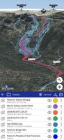
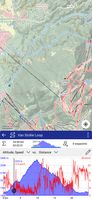


GPS app featuring offline navigation across 100+ countries with compact storage usage, quick route calculation, 3D city maps, POIs, hands-free directions, and junction view for clarity on major roads, making it ideal for travelers seeking reliable, distraction-free guidance.
 HungaryEU





Collaborative mapping platform generates street-level imagery from user-contributed photos, applying computer vision for privacy, urban planning, mapping, transport, and geospatial enrichment. Integrates with mapping tools and covers over 190 countries globally.
United States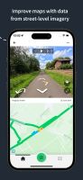
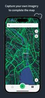



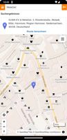
Privacy-focused online map service using OpenStreetMap data, offers daily-updated maps, anonymous browsing, place and POI search, step-by-step navigation for walking, cycling, driving, route exporting, web search integration, multi-language support, and no ads.
GermanyEU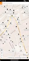



Offers turn-by-turn GPS voice navigation, live traffic updates, customizable routing, group chat, real-time location and ETA sharing, commute alerts, meet-up planning, pit stop features, access to local amenities, hands-free operation, and privacy controls for location sharing.
United States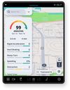
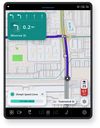


Feature-packed offline navigation with turn-by-turn voice directions, enriched OSM maps, traffic-aware rerouting, lane assistance, restaurant details, parking finder, walking routes, contact navigation, arrival sharing, tourist guidance, and regular updates.
 PortugalEU