Explore developer resources and start building your own applications using Planet's data and tools. Transform daily satellite imagery into intelligent analytic feeds to index objects and change.
Cost / License
- Paid
- Proprietary
Platforms
- Online


One of the most popular alternatives to Google Maps is CoMaps, which is free and open source. Other popular alternatives are OpenStreetMap, Organic Maps, OsmAnd and Cartes. There's no shortage of Map Services like Google Maps, with more than 100 alternatives for the web, Android, iPhone, iPad and Windows.
Explore developer resources and start building your own applications using Planet's data and tools. Transform daily satellite imagery into intelligent analytic feeds to index objects and change.

Wikiroutes - public transportation database edited by the community. You can find information about certain routes, optimal routes between A and B in more than 1650 cities worldwide. Also have mobile clients.
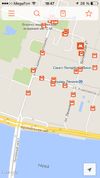
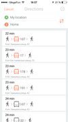
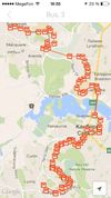


TdhGISnet provides a robust and versatile set of tools for performing shortest path analysis and route optimization for a user defined network.


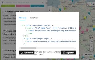
Mapping-Frontend to find and add sustainable Organisations (Initiatives, Companies) and Events on Kartevonmorgen.org / MapofTomorrow.org.
 Germany
 EU
EU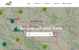




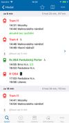
IDOS timetables websites is one of the outputs of the National information system of timetables (CIS JR), operated under auhority of Ministry of Transport of the Czech Republic by the company CHAPS Ltd.
 CzechiaEU



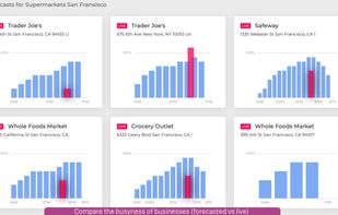
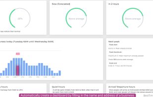
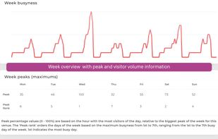
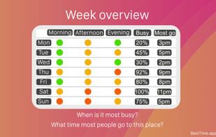
BestTime is a web (API) service that forecasts how busy a business (e.g. restaurant, gym, etc) will be at any given hour of the week. BestTime analyses the week, peak-, busy-, quiet hours, and provides live busyness + compare places + dashboards.


Maximize the use of your Excel spreadsheet data. Make mapping the easiest. Transform Excel data into visual analysis. We lead in data simplification and presentation. We are committed to deliver the tools needed to outpace competition.
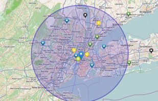
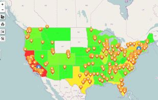


Modest Maps is a small, extensible, and free library for designers and developers who want to use interactive maps in their own projects. It provides a core set of features in a tight, clean package with plenty of hooks for additional functionality.
 United States


When it comes to the matter of locating a place within an area or state or any country, Qlook is the first choice now days. Established in Belize, its operation covers the Asian, African, American and South-American and European markets.


Distance Matrix API is powered by live traffic sources across the globe. Offering a great alternative to Google Maps API and providing users with the shortest routes, highly accurate travel predictions and unrivaled prices.


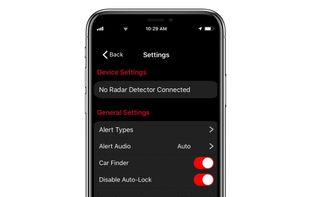
Share and receive real-time alerts from the entire network of users in the Cobra driving community. Instant red light and speed camera as well as live law enforcement detection notifications ensure you can drive smarter and safer.
United States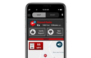



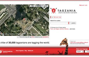
Tagzania is an application that helps you saving your places of the world. Using Tagzania you can save the place where you were first kissed, where you were born or where you work. You decide what to save