Open Source Google Maps Alternatives
The best open source alternative to Google Maps is OpenStreetMap. If that doesn't suit you, our users have ranked more than 100 alternatives to Google Maps and loads of them is open source so hopefully you can find a suitable replacement. Other interesting open source alternatives to Google Maps are OsmAnd, CoMaps, Organic Maps and Cartes.
filter to find the best alternatives
Alternatives list

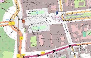
Privacy-focused online map service using OpenStreetMap data, offers daily-updated maps, anonymous browsing, place and POI search, step-by-step navigation for walking, cycling, driving, route exporting, web search integration, multi-language support, and no ads.
Cost / License
- Free
- Open Source
Application types
Platforms
- Online
- Android
- Android Tablet


 +1
+1


Pure Maps is a full-featured map and navigation application allowing you to explore maps, search for addresses and points of interest, as well as assist with navigation.
Cost / License
- Free
- Open Source (GPL-3.0)
Application types
Platforms
- Linux Mobile
- Ubuntu Touch
- Sailfish OS

 +6
+6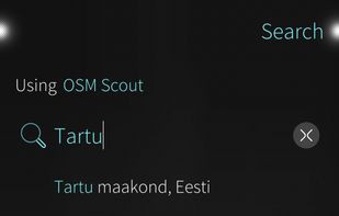


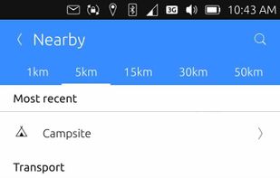
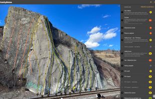
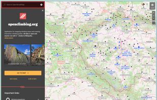
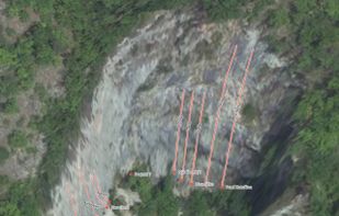
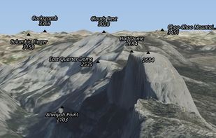
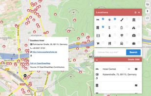
Application for mapping climbing areas and creating interactive climbing guides. All data is open and anyone can edit it – similar to Wikipedia.
 +3
+3


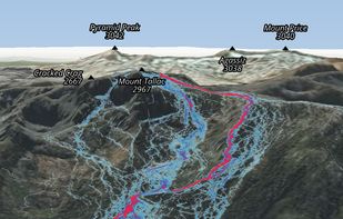
Ascend Maps is an open-source and privacy-friendly application for maps and GPS featuring 3D terrain, offline search, track recording and editing, advanced overlays such as slope angle shading and aspect shading, and more.
 +4
+4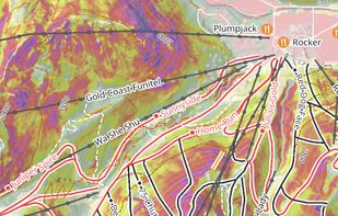


Stadia Maps provides great looking maps and geographic data services. We’re here to help you grow your business, not your bills.
Cost / License
- Freemium
- Open Source
Application types
Platforms
- Mac
- Windows
- Linux
- Online
- Android
- iPhone
- Chrome OS
- Android Tablet
- iPad


 +1
+1


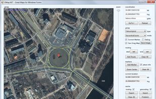
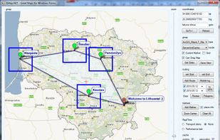
GMap.NET is great and Powerful, Free, cross platform, open source .NET control. Enable use routing, geocoding, directions and maps from Google, Yahoo!, Bing, OpenStreetMap, ArcGIS, Pergo, SigPac, Yandex, Mapy.cz, Maps.lt, iKarte.
Cost / License
- Free
- Open Source
Application types
Alerts
- Discontinued
Platforms
- Windows
- Windows Mobile
 +5
+5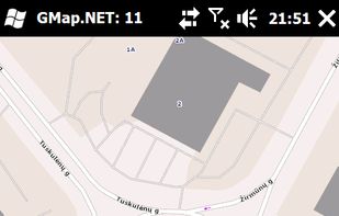


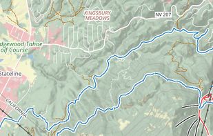
Offline mapping for hiking on iOS and Android offers customizable map styles, overlays, HD detail toggles, location tracking, advanced GPS settings for battery savings, detailed search, marker creation, and access to weather, itineraries, and all data offline.


 +2
+2

- 16 OpenRouteService.org alternatives
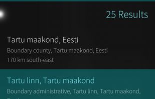
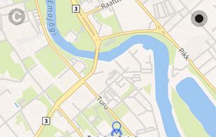
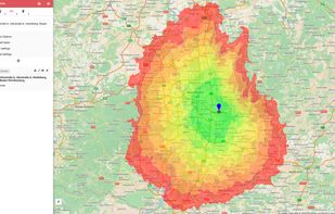
OpenRouteService.org as offers routing services by using user-generated, collaboratively collected free geographic data from OpenStreetMap. Please donate your geographic data to openstreetmap.org!.

 O
O 
Offline desktop map viewer featuring vector OpenStreetMap data, navigation, GPX track import/export, elevation and contour display, customizable map layers, waypoint tools, and efficient handling of large files for outdoor, hiking, or off-road planning and navigation.
Cost / License
- Free
- Open Source
Alerts
- Discontinued
Platforms
- Linux


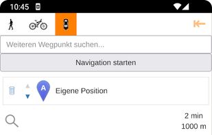
Open source mapping and GPS navigation featuring car, bike, or foot route planning, voice-guided turn-by-turn indicators, global coverage, units in kilometers or miles, and offline map support, powered by OpenStreetMap and Openrouteservice with points of interest search.