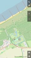
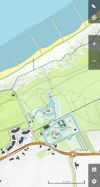
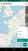
OSMv or Simple OSM Viewer is a very simple application that is using library osmdroid to display various maps.


+5
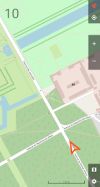





There are many alternatives to CoMaps for Android if you are looking for a replacement. The best Android alternative is Organic Maps, which is both free and Open Source. If that doesn't suit you, our users have ranked more than 50 alternatives to CoMaps and many of them are available for Android so hopefully you can find a suitable replacement. Other interesting Android alternatives to CoMaps are OsmAnd, Google Maps, Waze and Magic Earth.
OSMv or Simple OSM Viewer is a very simple application that is using library osmdroid to display various maps.

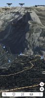
Ascend Maps is an open-source and privacy-friendly application for maps and GPS featuring 3D terrain, offline search, track recording and editing, advanced overlays such as slope angle shading and aspect shading, and more.
 United States
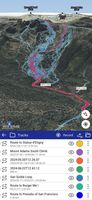
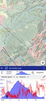


Provides GPS navigation for on-road and off-road journeys on Android and Linux, utilizing a forked libosmscout backend, with GPX reading and writing, compass, trip tracker, road routing, POI database, offline mapping, data import/export, and suitable for outdoor activities.
 France
 EU
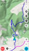
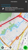
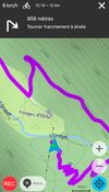


Features voice-guided GPS navigation, live vector maps, up-to-date satellite imagery, real-time traffic with automatic reroutes, route alternatives, cost comparisons, transit support, POI search, hotel and food booking, gas price checking, weather, and roadside assistance.
United States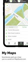

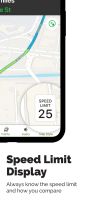


Explore the outdoors with AllTrails! Discover nature with hiking, biking, backpacking and running trails around the world. Log your hike, walk, run or mountain bike ride with our GPS activity tracker. Looking for a good spot for camping or backpacking?
United States

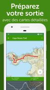


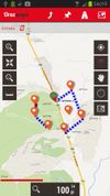
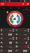
OruxMaps is an online/offline map viewer and track logger for Android. You can use OruxMaps for your outdoor activities (running, trekking, mountain bike, paragliding, flying, nautic sports, etc.)
Features:
Online map viewer The tiles used online can be cached, and can be used.
 SpainEU



Enables map display using OpenStreetMap data, supports swift transitions between multiple base map layers, offers ad-free operation, open source transparency, and privacy-respecting design, all in a lightweight app available for Android with no user tracking or registration.
FranceEU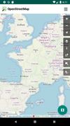
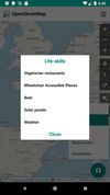


GPS software offering real-time traffic data, customizable navigation for cars and trucks, offline maps, speed alerts, lane guidance, and Apple CarPlay. Supports smart journeys and truck-specific needs like rest-stop finding and dangerous cargo inputs.
 NetherlandsEU









Create, plan, edit, record, save or share your trips, keep the memories, track your performance, and much more. Locus Map is designed for hiking, mountain biking, cycling, running, geocaching, cross-country skiing, and other outdoor activities.
 CzechiaEU
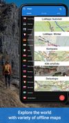
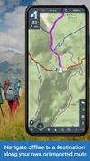



Arrow is a lightweight navigation app designed for travellers who want to explore without distractions. Instead of a map, you get a clean arrow that always points you in the right direction - no zooming, dragging, or rerouting needed.