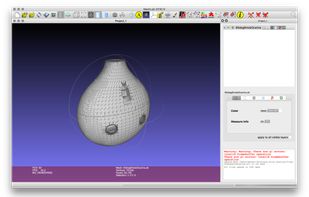
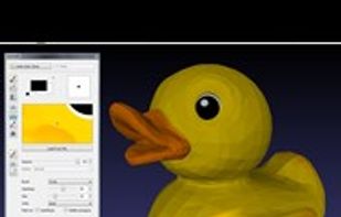
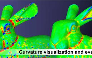
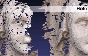
System for processing and editing 3D triangular meshes, provides a set of tools for editing, cleaning, healing, inspecting, rendering, texturing and converting meshes.


MeshLab vs CloudCompare Comments


- MeshLab is Free and Open Source
CloudCompare is described as '3D point cloud (and triangular mesh) processing software. It has been originally designed to perform comparison between 3D points clouds only. It relies on a specific octree structure that enables great performances(1) relatively to this particular function' and is an app. There are eight alternatives to CloudCompare for a variety of platforms, including Windows, Web-based, Mac, Self-Hosted and SaaS apps. The best CloudCompare alternative is MeshLab, which is both free and Open Source. Other great apps like CloudCompare are Autodesk ReCap, 3D Reshaper, Geomagic Verify Viewer and f360Vision.
System for processing and editing 3D triangular meshes, provides a set of tools for editing, cleaning, healing, inspecting, rendering, texturing and converting meshes.


Autodesk ReCap Pro is a software tool for creating 3D models for real-world infrastructure projects. It allows designers and engineers to capture detailed models of real-world assets and supports Building Information Modeling (BIM) processes.


Point cloud process, 3D Meshing, CAD surface reconstruction, dental CAD and tridimensional comparison. Feature Line extraction, Tunnel cross-sections, Eliminating measurement noise, Registration, cloud alignments.


Share and view inspection results and a multitude of 3D scan data and CAD formats with Geomagic Verify Viewer. This free viewer application, based on Geomagic Verify, lets anyone view the results of inspections created in Verify, including deviation color maps, dimensions and...

f360Vision is a free viewer for 3D point clouds, with or without panoramic photos. Use it directly in your browser with no installation, as a desktop app for Windows and macOS, or self-host it via Docker on your own server or cloud for full data control.

Convert LiDAR point clouds into detailed Revit terrain in seconds — process LAS/LAZ ground data into Toposolid/TopoSurface with density control, coordinate offsets, multi-core speed and CSV export.
Reverse engineer physical parts into digital parametric CAD models with the most comprehensive reverse-engineering software, combining history-based CAD with 3D scan data processing.
Browser-based viewer for virtual tours, point clouds, 3D Gaussian splats, BIM models, 360° video, PDFs and GeoTIFF maps.


Both are great, easy to use, and complementary: