360ForYou is a browser-based platform for reality capture and 3D data. You upload a scan, model or capture and get an interactive viewer behind a single shareable link — no installation, no plugin, no app.
Eight purpose-built viewers cover the main data types:
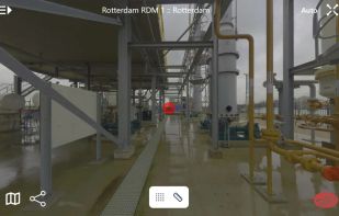
- Virtual tours generated automatically from laser scans or 360° cameras, with linked panoramas, a 2D site map, hotspots and comments
- Point clouds of any size (10+ billion points) streamed via Entwine/EPT octrees, with measurements, cross-sections, satellite and OpenStreetMap underlays
- Textured meshes (OBJ/MTL, GLB, STL) in the same scene as the point cloud
- 3D Gaussian Splatting with level-of-detail streaming for smooth playback on weak devices
- BIM and 3D models — large IFC and Revit files with element filtering and parameter inspection
- 360° video up to 5.7K with a GPS minimap synced to playback
- PDFs with real-world scale calibration, measurement and flattened annotations
- GeoTIFF maps with KML/KMZ overlays and basemaps in the project's coordinate system
Additional capabilities include panorama synthesis from point clouds (including intensity-only and SLAM scans), automatic AI blurring of faces, people, license plates and vehicles for GDPR compliance, scan-vs-BIM deviation analysis, publishing tours to Google Street View, support for any coordinate system via EPSG/WKT/PROJ with NTv2 datum shifts, import directly from cloud share links, a REST API documented with OpenAPI 3, a QGIS uploader plugin, white-label branding with custom subdomains and iframe embedding, and VR support.
Available as a hosted SaaS service (servers in Germany), as a fully managed dedicated server, or self-hosted on your own hardware as a Docker container.







 EU
EU


 360ForYou added 360ForYou as alternative to Matterport 3D Showcase, Autodesk ReCap, CloudCompare, Pano2vr and 2 more
 360ForYou


No comments or reviews, maybe you want to be first?