


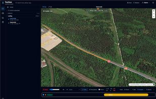
Local-first ride viewer — import, browse, tag, replay, compare and analyse your tours. TourGaze turns the FIT / GPX / TCX / KMZ files from your bike computer, watch or phone into a searchable, taggable library of rides — with a cinematic map replay, advanced per-ride analytics...
Cost / License
- Free
- Open Source (AGPL-3.0)
Platforms
- Windows
- Linux
- Docker
- Self-Hosted
- Java
- Node.JS

Best alternatives are  wandererand
 gpx.studio
21 alternativeswandererandgpx.studio