Apps tagged with 'Kml'

All apps in Apps tagged with 'Kml' category. Use the filters below to narrow down your search. 
Copy a direct link to this comment to your clipboard
  1. Video GeoTagger is a revolutionary software allowing anyone to easily geotag ANY video for interactive map playback.

    Cost / License

    • Freemium (Subscription)
    • Proprietary

    Since

    • Since 2025

    Platforms

    • Windows
    3 alternatives
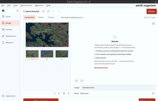
  2. Earth Organizer helps people with large Google Earth Pro collections get them back in order. Move many placemarks at once, search the whole collection, sort from the map by pasting a screenshot, find duplicates and broken folders, and prepare everything for Google Earth Web: a...

    Cost / License

    • Free
    • Proprietary

    Application type

    Since

    • New

    Platforms

    • Windows
    • Mac
    • Linux
    • DE flagGermany
    • European Union flagEU
    Bundle by Screenshot
    9 alternatives
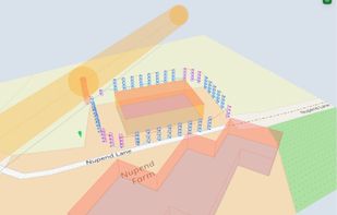
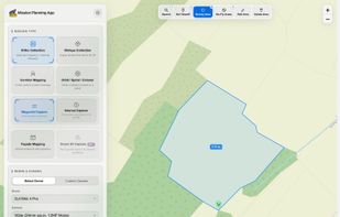
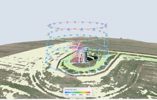
  3. Browser-based waypoint mission planner for DJI Mini, Air, Mavic and Lito drones: mapping grids, obliques, corridors, orbits, facades and smart 3D capture, exported for DJI Fly.
    Cost / License

    • Freemium (Subscription)
    • Proprietary

    Application type

    Since

    • New

    Platforms

    • Online
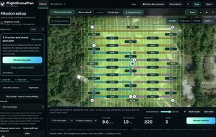
    Mission Planning App screenshot 1
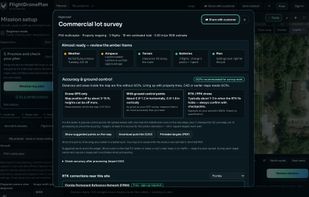
    Mission Planning App screenshot 2
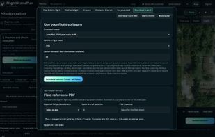
    Mission Planning App screenshot 3
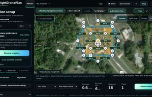
    Mission Planning App screenshot 4
    3 alternatives
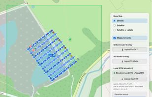
  4. Map property outlines into editable waypoint routes for photos, inspections, grids, orbits and repeat surveys, then export route files.

    Cost / License

    • Freemium (Pay once or Subscription)
    • Proprietary

    Since

    • New

    Platforms

    • Online
    • Software as a Service (SaaS)
    • US flagUnited States
    Map a whole site: draw the area, and the passes, overlap, flights and time are worked out.
    One pre-flight brief: weather and light, airspace, terrain, batteries and the plan in one place.
    Export for any drone that flies waypoint missions: DJI KMZ, ArduPilot and PX4 route files, KML, GeoJSON or GPX.
    Real-estate photos: mark four corners, and the orbit views, corner shots and top-down photo are placed and aimed.
    8 alternatives