



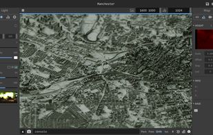
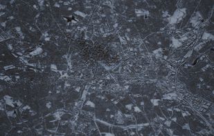
AerioLOD is an interactive path tracing renderer for height maps featuring support rendering height maps of size up to 16384^2 and importing and exporting 8-bit and 16-bit png images.
Cost / License
- Free
- Proprietary
Platforms
- Windows
 China
China




+1



AerioLOD is an interactive path tracing renderer for height maps featuring support rendering height maps of size up to 16384^2 and importing and exporting 8-bit and 16-bit png images.
China