





AerioLOD
1 like
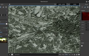
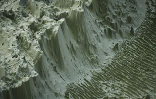
AerioLOD is an interactive path tracing renderer for height maps featuring support rendering height maps of size up to 16384^2 and importing and exporting 8-bit and 16-bit png images.

Cost / License
- Free
- Proprietary
Platforms
- Windows




+1

Add Alternatives

1like
0alternatives
0articles
Features
AerioLOD News & Activities
Highlights All activities
Recent activities
No activities found.
AerioLOD information
Developed by
 ephtracy
 Licensing
Proprietary and Free product.Alternatives
0 alternatives listedBadge
Get an embeddable badge for AerioLODSupported Languages
No comments or reviews, maybe you want to be first?