wanderer is a self-hosted trail database. You can upload your recorded tracks or create new ones and add various metadata to build an easily searchable catalogue.
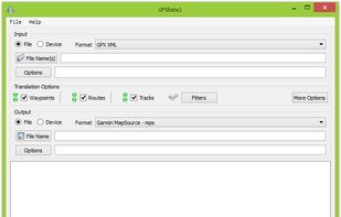
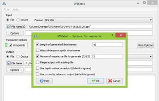
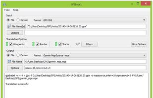
GPSBabel converts waypoints, tracks, and routes between popular GPS receivers such as Garmin or Magellan and mapping programs like Google Earth or Basecamp. Literally hundreds of GPS receivers and programs are supported. It also has powerful manipulation tools for such data.
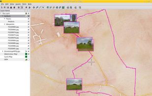
Viking is a free/open source program to manage GPS data. You can import, plot and create tracks, routes and waypoints, show OSM, Terraserver, Bing Aerial and other maps, geotag images, see real-time GPS position, get geocaches, control items, etc.
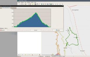
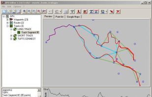
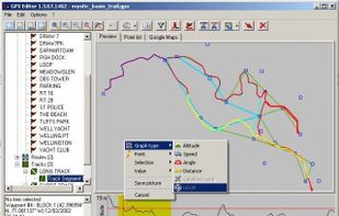
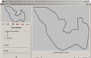
Load, modify and save your GPX 1.1 files. Add and remove waypoints, edit track and routes, simplify tracks (reducing file's size), clean recorded data, add and edit GPX metadata, edit waypoint, route and track properties, all with real-time preview.
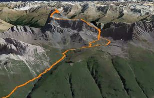
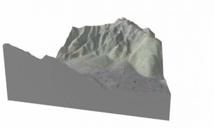
Topography is what makes Skiing, Hiking, Trail running and Mountain biking so exciting. You conquer those vertical distances with a lot of sweat and effort, but your tracking software only shows a boring 2D map. That's where CubeTrek comes in.


 gpx.studio
 Best alternatives are3 alternatives

 +2
+2 Best alternatives are5 alternatives


 +2
+2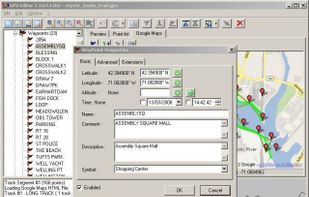 Best alternatives are19 alternatives
 wandererand
 +1
+1