

ExifTool is a platform-independent Perl library plus a command-line application for reading, writing and editing meta information in a wide variety of files.
 Canada


Best alternatives are  ExifCleanerand

73 alternativesExifCleanerand

ExifTool is a platform-independent Perl library plus a command-line application for reading, writing and editing meta information in a wide variety of files.
CanadaExifCleanerand
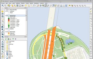
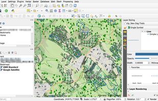
A fully featured, user friendly, open source Geographic Information System (GIS) with similar power to ArcGIS and MapInfo.
 Switzerland


 Overpass Turbo

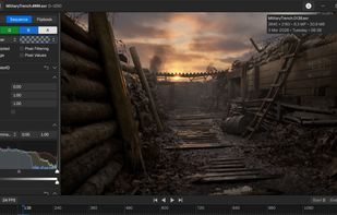
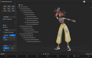
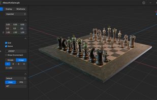
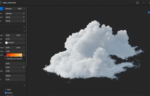
Free, fast viewer for images, EXR sequences, video, 3D models, Alembic caches, OpenVDB volumes, Gaussian splats, and scientific data.
 Ukraine

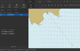
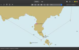
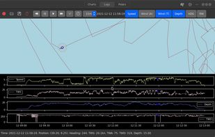
GWeatherRouting is an open-source sailing routing and navigation software written using Python and Gtk4.
 Italy
 EU