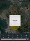
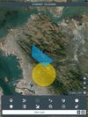
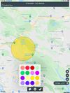
Mgrs & Utm Map is a GPS and coordinate system application designed to assist military personnel and outdoor enthusiasts with navigation, supporting various satellite systems and offering diverse map layers.

+5

Mgrs & Utm Map is a GPS and coordinate system application designed to assist military personnel and outdoor enthusiasts with navigation, supporting various satellite systems and offering diverse map layers.


LiDAR room scanner for iPhone and iPad. Walk through a home and get a north-aligned floor plan, a measured 3D model and a web link your clients open in a browser.