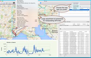
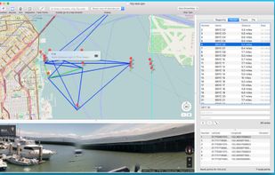
GPX Viewer views GPX files exported from many GPS devices and other apps such as our Road Trip Planner.
Cost / License
- Paid
- Proprietary
Application type
Platforms
- Mac



+2
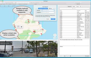


GPX Viewer views GPX files exported from many GPS devices and other apps such as our Road Trip Planner.

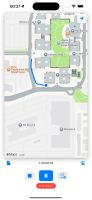
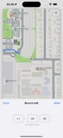
Lightweight GPX recorder that makes tracking your journeys simple. Record your routes with multiple segments, set specific durations or end times, and access your tracks through iCloud Drive.
 Russia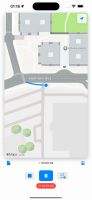


Track Guru is a tool for analysis of GPS tracks in GPX files. It helps to keep an overview over a collection of GPX Tracks, to gather statistics on them, modify them and clean up errors. Its goal is to concentrate on those jobs and do them in an easy and straightforward way.
 wandererand
 gpx.studio
gpxsplitter splits multi-track GPX files, containing waypoints, into individual one-track GPX files with their respective waypoints.
wandererandgpx.studio
 Germany
 EU
EU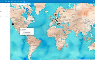
 wandererandgpx.studio
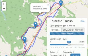
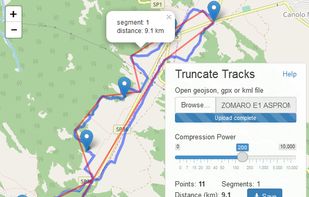
Some GPS devices and mapping software generate large files with excessive number of points. That much accuracy is usually redundant and the application is reducing size by truncating the number of track points. Size reduction of over 90% is possible.
GPS TrackMaker® is a full-featured free program for GPS devices! You can use the Real-Time Navigation routine to go out with a GPS connected to a portable computer, knowing where is your location on the map.
wandererandgpx.studio
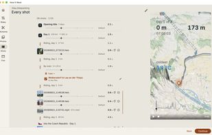
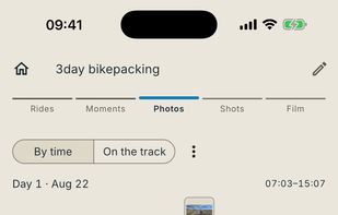
Turns FIT and GPX tracks, photos and action-cam clips into a short film that follows your route — one ride, or a whole trip day by day.
 AustriaEU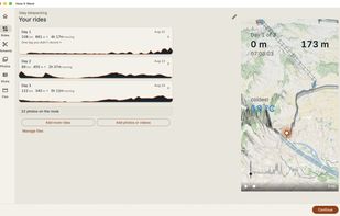


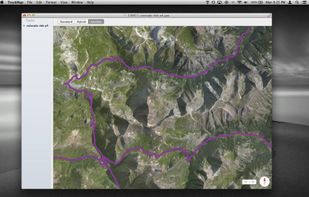
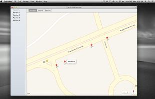
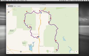
TrackMap lets you quickly and easily visualize your GPX tracks and waypoints on a map. It has a small and intuitive interface that stays out of your way and lets you focus on the map. The collapsible sidebar contains a list of all the waypoints and tracks included in the file...
 United States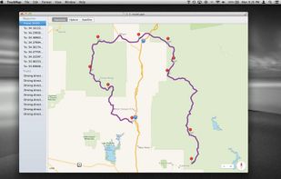


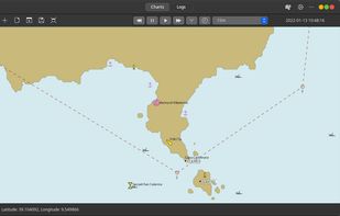
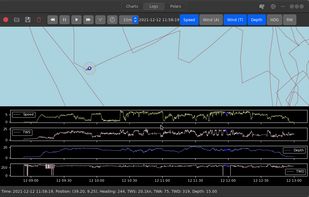
GWeatherRouting is an open-source sailing routing and navigation software written using Python and Gtk4.
 ItalyEU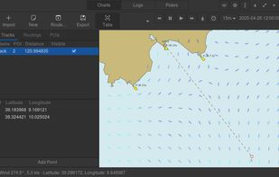

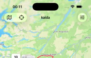
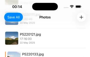
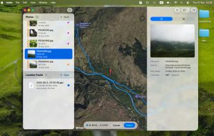
Effortlessly geotag your photos with kaida ("where" in Tatar). This universal app uses GPX track data to automatically add GPS coordinates to your images.
Russia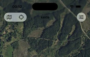

 IrfanView
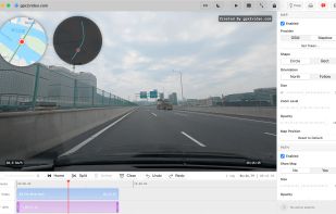
Native macOS app that overlays GPX tracks onto video — real-time map, route thumbnail, speed/time/heart-rate widgets, up to 4K hardware-accelerated export.


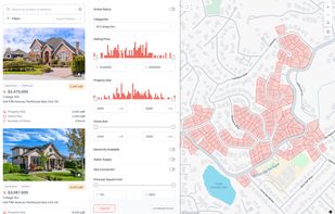
Treweler is a WordPress plugin based on the Mapbox platform that allows users to build customizable interactive maps for websites. It is intended for developers, businesses, and individuals who work with location-based data and need a way to display and manage it within...
 Montenegro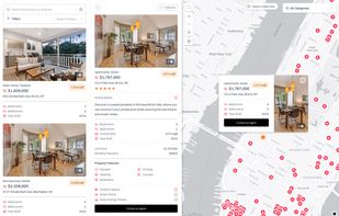


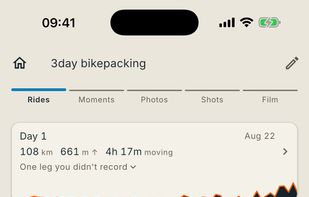
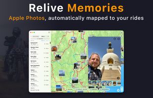
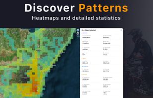
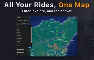
Track rides on iPhone and Apple Watch, organize on Mac - or import from any GPS device. No subscriptions. Your data stays yours.
 SwedenEU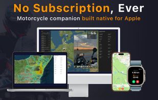
 OpenStreetMapand
 wandererandgpx.studio
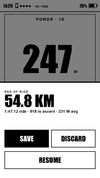
OpenTrailPaper is firmware for the LilyGO T5S3 4.7" E-Paper PRO. It shows ride data and offline maps, follows GPX routes, records FIT files and connects to Bluetooth sensors. You buy and protect the board yourself.
United States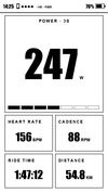
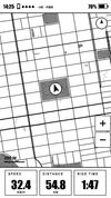

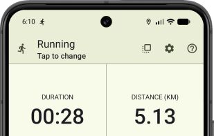
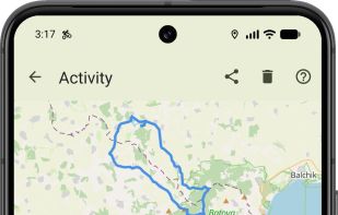
Privacy-first GPS activity tracker for running, walking, cycling, hiking and workouts, with no ads, no required account, local activity history, GPX tools and Wear OS controls.
 BulgariaEU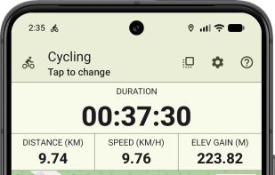
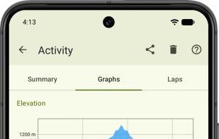
 OneRep Fitness
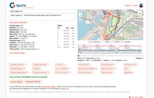
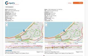
GpxFix lets you repair your Strava activities or other GPX files. Fix GPS spikes, smoothen, restore sections, change time or distance, combine, fix HR, remove still time, edit, calibrate elevation, strip, crop, cut, change distance, compare, reverse track.
 gpx.studio
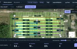
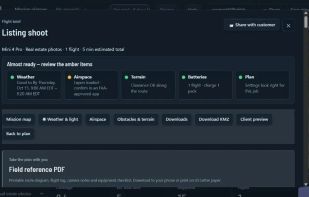
Map property outlines into editable waypoint routes for photos, inspections, grids, orbits and repeat surveys, then export route files.
United States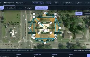


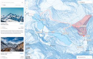
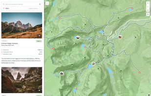
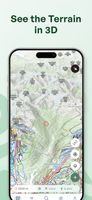
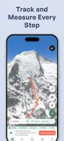
Explore the backcountry with the ultimate mountain toolkit. Outmap combines detailed 3D maps, offline access, intuitive library management, and advanced safety tools.
 Canada

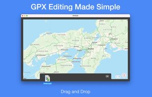
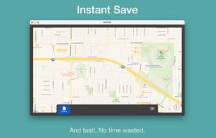
Drag GPX files to edit, click the map for new location to set —instantly on the file without a save.

 wandererandgpx.studio
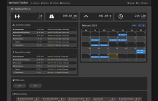
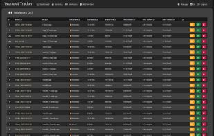
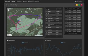
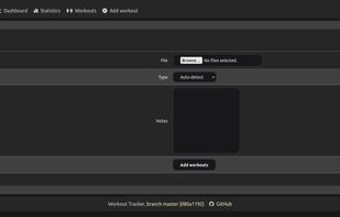
A workout tracking web application for personal use (or family, friends), geared towards running and other GPX-based activities.