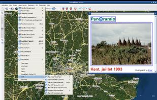
This program allows work with any maps service if you can describe getting picture by longitude/latitude(if you want you can write config file or simplepascal script to describe how obtain needle photos).


Apps similar to Yandex Maps include CoMaps, which is free and open source. Other options are OpenStreetMap, Google Maps, Organic Maps and OsmAnd. There's no shortage of Map Services like Yandex Maps, with more than 50 alternatives for the web, Android, iPhone, iPad and Windows.
This program allows work with any maps service if you can describe getting picture by longitude/latitude(if you want you can write config file or simplepascal script to describe how obtain needle photos).

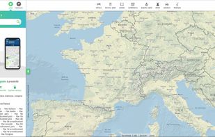
Online French mapping platform featuring detailed address and place search, interactive route planning, real-time traffic, public transit integration, customizable journeys, distance and cost calculations, and printable itineraries, accessible on both web and mobile devices.
 France
 EU


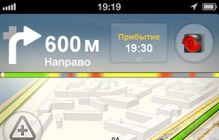
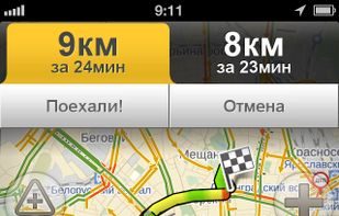
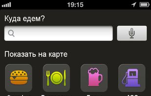
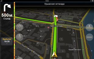
Find your way around the city and keep track of current traffic with your cell phone.
 Russia


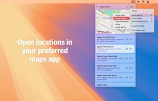
Quickly search for locations directly from your Mac’s menu bar and open them in Apple Maps, Google Maps, or OpenStreetMap.
 NetherlandsEU





The Headway Project was born out of a frustration with the need to send current and future location data to a corporation in order to figure out how we’re getting from A to B. Offline-only maps apps can be frustrating to use, and sometimes suffer from performance problems, poor...
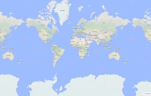


Explore the world with Mapcarta. The open map that unites the world, with the collective knowledge of OpenStreetMap, Wikipedia, Wikidata and other open projects.
 United States
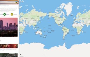


Privacy-focused online map service using OpenStreetMap data, offers daily-updated maps, anonymous browsing, place and POI search, step-by-step navigation for walking, cycling, driving, route exporting, web search integration, multi-language support, and no ads.
 GermanyEU
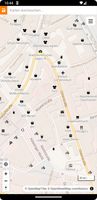
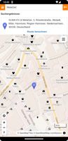



Offers turn-by-turn GPS voice navigation, live traffic updates, customizable routing, group chat, real-time location and ETA sharing, commute alerts, meet-up planning, pit stop features, access to local amenities, hands-free operation, and privacy controls for location sharing.
United States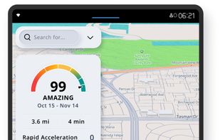
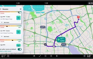
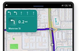
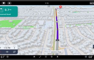


Web-based platform for trip planning offering live traffic info, multiple route options, device syncing, integration with mobile navigation, commute delay monitoring, map interactivity, vehicle type support, route optimization, experimental features, and secure account settings.
NetherlandsEU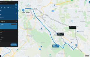


Kagi Maps is a powerful tool that simplifies the process of finding businesses, points of interest, and addresses. With Kagi Maps, you can easily search for locations, get driving or walking directions, and discover interesting stops along your route.
United States


Android navigation app with high-quality offline HD maps, voice-guided turn-by-turn directions, speed and lane guidance, POI search by category, supports driving, biking and walking, automatic rerouting, itinerary planning, and multilingual interface for travelers.
 RomaniaEU