


Cost / License
- Free
- Proprietary
Platforms
- Android
- iPhone
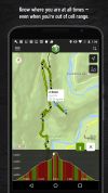

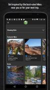

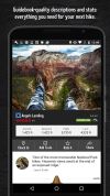


Apps similar to Visorando include Outdooractive, which has a free version. Other options are OpenRunner, PeakOrama, Komoot and AllTrails. Map Services like Visorando are a crowded field, with more than 25 alternatives for Android, iPhone, the web, iPad and Windows.

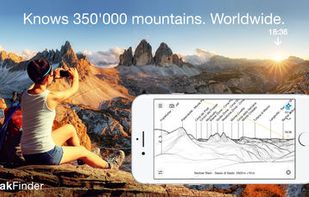
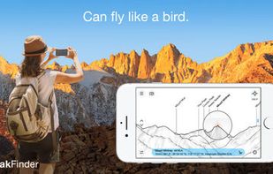
Explore more mountains than any mountaineer! PeakFinder Earth makes it possible… and shows the names of all mountains and peaks with a 360° panorama display. This functions completely offline - and worldwide!
 Switzerland



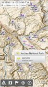
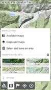
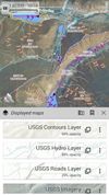
AlpineQuest is the complete solution for all outdoor activities and sports, including hiking, running, trailing, hunting, sailing, geocaching, off-road navigation and much more.


Plan running routes by tapping waypoints on a map — with surface analysis, elevation data, roundtrip generation, turn-by-turn navigation, and workout plans. Free, no account required, no ads.
 Netherlands
 EU
EU




Discover millions of outdoor trails around the world. Choose between hiking, running, bike, MTB, kayak, ski or up to 70 different types of activities.
 SpainEU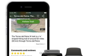


Find the best places for hiking, climbing, skiing, snowshoeing, kayak, trekking, camping, bike, mountain bike and lot more.
 United States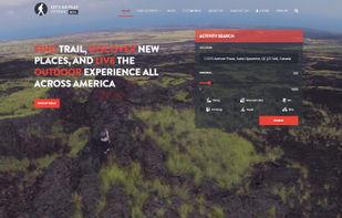


PeakVisor will make you a superhero of outdoor navigation by putting state-of-the-art 3D maps and mountain identification magic wand in your hand.
 ItalyEU


FriendHike is a social hiking app that helps you find hiking buddies and partners near you, so you never have to hike alone.


Track Guru is a tool for analysis of GPS tracks in GPX files. It helps to keep an overview over a collection of GPX Tracks, to gather statistics on them, modify them and clean up errors. Its goal is to concentrate on those jobs and do them in an easy and straightforward way.


 Portugal
 Sweden