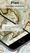
BY backpackers FOR backpackers, Topo Maps+ is fully functional with additional premium options for the serious backpacker. Downloaded, high resolution maps are still available for use even after your subscription expires!
 United States


+7



Apps similar to Trekarta include CoMaps, which is free and open source. Other options are Organic Maps, OsmAnd, Remap and OSM Scout. There's no shortage of GPS Navigation Services like Trekarta, with more than 25 alternatives for iPhone, Android, iPad, the web and Mac.
BY backpackers FOR backpackers, Topo Maps+ is fully functional with additional premium options for the serious backpacker. Downloaded, high resolution maps are still available for use even after your subscription expires!
United States
Ski Tracks is a Ski and Snowboard tracking application, available on Android ,iOS and Blackberry 10.
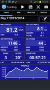
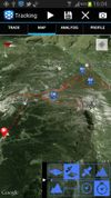
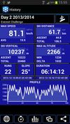



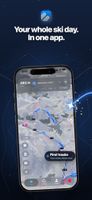
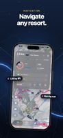
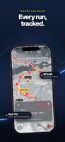
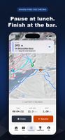
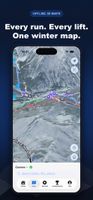
Offline ski and snowboard navigation maps routes across lifts and pistes by ability, with spoken turn cues and rerouting. Downloaded 3D resort maps work without coverage, while tracking logs runs, lifts, speed and vertical for replays, recaps and season stats.
 Israel


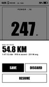
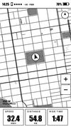
OpenTrailPaper is firmware for the LilyGO T5S3 4.7" E-Paper PRO. It shows ride data and offline maps, follows GPX routes, records FIT files and connects to Bluetooth sensors. You buy and protect the board yourself.
United States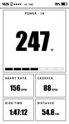


Skiline is a platform for skiers covering skiing metrics, ski video, details about ski resorts and much more.


TrailDrop is a lightweight GPX open and sharing platform for outdoor enthusiasts, creators, and clubs. Upload your GPS track, generate a link, and share it instantly without requiring others to sign up.
 Poland
 EU


 United Kingdom


iSKI is available for download in 20 ski nations on Apple Store and Google Play plus don't forget the iSKI Tracker app and iSKI X for Extreme Sports! All the iSKI apps are available to download for free.
 GermanyEU

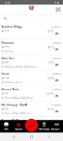
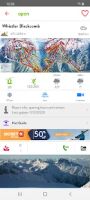


Do you want to know everything about your day skiing or snowboarding? Check speed, slope angle, altitude, g-force, jumps and much more. You will see your line on a real map of the mountain. You can even see your exact speed, slope angle and altitude during the run by sliding...
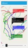
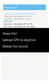
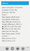


Plans routes through ski-resort lifts and pistes using your difficulty limit and live closure data in selected areas, with voice and Apple Watch guidance. Background recording matches every run and lift to the map with speed, vertical and queue time, plus 3D replays and gamified run unlocking.
 Switzerland