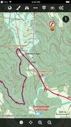
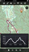
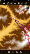
Discover millions of outdoor trails around the world. Choose between hiking, running, bike, MTB, kayak, ski or up to 70 different types of activities.
 Spain
 EU


Apps similar to Trekarta include CoMaps, which is free and open source. Other options are Organic Maps, OsmAnd, Remap and OSM Scout. There's no shortage of GPS Navigation Services like Trekarta, with more than 25 alternatives for iPhone, Android, iPad, the web and Mac.
Discover millions of outdoor trails around the world. Choose between hiking, running, bike, MTB, kayak, ski or up to 70 different types of activities.
SpainEU
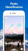
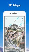
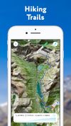
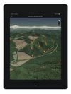
PeakVisor will make you a superhero of outdoor navigation by putting state-of-the-art 3D maps and mountain identification magic wand in your hand.
 ItalyEU


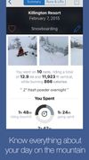
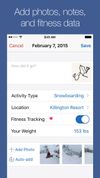
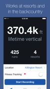
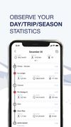
Slopes is the best way to accurately track and show off days skiing and snowboarding with just your phone’s GPS. Slopes automatically detects lifts and runs, reporting statistics in real-time on the iPhone, Pebble watches, and now on Apple Watch.


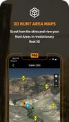
HuntStand’s powerful mapping features and revolutionary hunting tools will give you the confidence and knowledge for a safe and successful hunt.
 United States


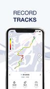
Skill is a mobile app for downhill skiers and snowboarders. Now riding in a company and improving your skills becomes even more fun!.


 NetherlandsEU



Get real time information on more than 2000 resorts, book any one of more than a million options for ski accommodation, ski passes and lots of other services.


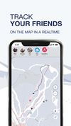
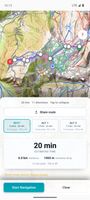
Offline ski and snowboard GPS navigation with spoken, turn-by-turn directions across pistes and lifts. It selects routes by difficulty or style, reroutes around reported closures, shows prompts on compatible watches, tracks friends, and creates day plans and recaps.
 BelgiumEU
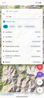



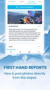
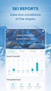
OnTheSnow, the worldwide leader for snow reports and ski conditions, brings you the world's most downloaded skiing and snowboarding application, the Ski & Snow Report app.



THE ULTIMATE HUNTING TOOLSET. With advanced mapping overlays, hunting predictions, GPS navigation, weather forecasting, and more.
United States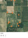
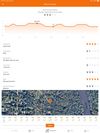


BaseMap is the only outdoor app you will ever need. Turn your phone into a GPS, map your outdoor adventures, and interact with the BaseMap community.
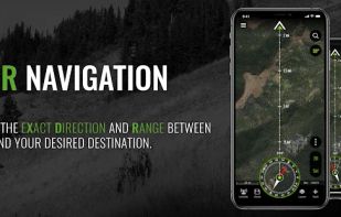


The Cartograph app views Mapsforge offline vector maps, offline raster maps, and online/WMS maps. It supports tracking, route search, overlays, hillshading, reliefs, track drawing, and has many other features.
 GermanyEU