topograph Alternatives
topograph is described as 'Topograph turns real elevation data into clean, customizable topographic graphics. Generate from data, upload your own sources, or search any location. Adjust contour density, styles, and color, then export as SVG, PNG, PDF, GeoJSON, DXF, or STL. Runs client-side' and is a Map service in the photos & graphics category. There are more than 50 alternatives to topograph, not only websites but also apps for a variety of platforms, including Android, Mac, Self-Hosted and Windows apps. The best topograph alternative is Google Maps, which is free. Other great sites and apps similar to topograph are QGIS, OpenFreeMap, GMaps WV and Mapiful.
Alternatives list

The new standard for GIS software. Simple and powerful. Step into Atlas to explore, analyze and share geospatial data.


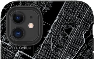
 8 Mapify alternatives
Mapify offers personalized map posters, phone cases and more! Mapify uses a specialized Fine Art printing technique and incredibly large images to ensure your map contains every single detail of your special place.


Cost / License
- Free
- Open Source
Platforms
- Online
- Self-Hosted
 +2
+2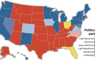

 18 Map Chart alternatives
Create your own free custom Map of World, Europe, Asia, United States and others in 3 easy steps. Download it for free and use it for a great visual representation.


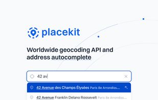
Our mission at PlaceKit is to become the go-to geocoding solution for developers. Existing solutions feel opaque as they're split across many indiscernible APIs, confusing pricing, and locking developers into their ecosystem.

 +2
+2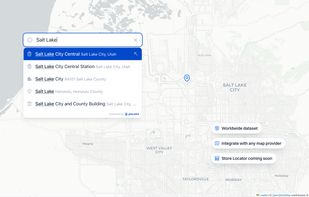


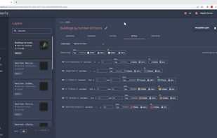
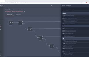
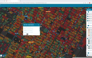
Mapify is an end-to-end platform to manage and process real-time geospatial data and generate real-time insights.
Cost / License
- Paid
- Proprietary
Platforms
- Online


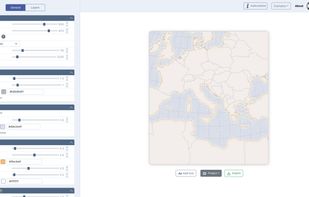
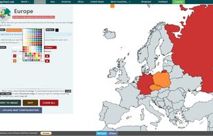
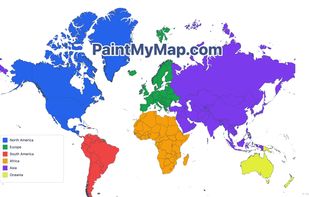
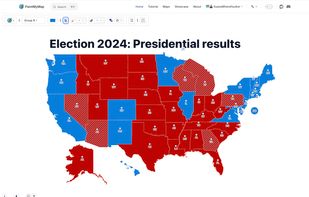
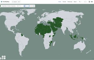
A free online tool to create and customize maps. You can paint countries with colors, patterns, or textures, place shapes and SVGs, edit map structures, and even load your own data.
 +2
+2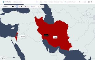

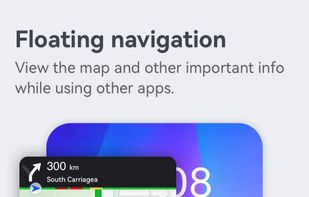
 57 Petal Maps alternatives
Offers interactive 2D/3D map browsing, live traffic updates, detailed keyword and category-based search, instant route rerouting, nearby place recommendations, and event displays in more than 160 countries and regions for comprehensive map navigation.

 +5
+5


OpenMapTiles is a set of open-source tools for self-hosting of OpenStreetMap maps in more than 50 languages. It provides both raster as well as vector tiles, WMS and WMTS services for GIS programs, support for JavaScript viewers and mobile SDK.


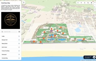
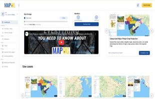
 16 MAPOG alternatives
MAPOG is an AI-powered interactive mapping platform that lets users create map-based stories, add images, videos, links, and details to pins, manage tasks, collect field data, sort locations by live position, and share or embed maps.

 +9
+9