


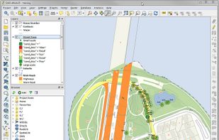
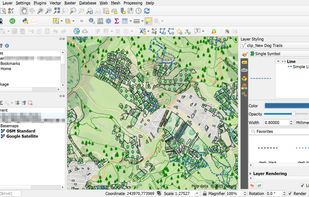
A fully featured, user friendly, open source Geographic Information System (GIS) with similar power to ArcGIS and MapInfo.
 Switzerland



+9


Apps similar to SNAP - SentiNel Application Platform include QGIS, which is free and open source. Other options are ArcGIS, Global Mapper, Orfeo ToolBox and LIDAR Analyst. In total there are six GIS Software like SNAP - SentiNel Application Platform for Windows, Linux, Mac, Android and iPhone.
A fully featured, user friendly, open source Geographic Information System (GIS) with similar power to ArcGIS and MapInfo.
Switzerland
ArcGIS offers unique capabilities and flexible licensing for applying location-based analytics to your business practices.
 United States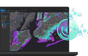


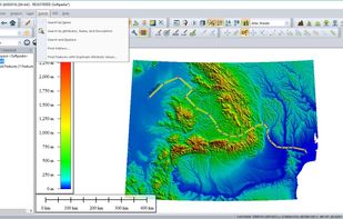
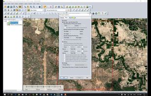
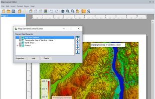
Global Mapper is a cutting-edge GIS software that provides both novice and experienced geospatial professionals with a comprehensive array of spatial data processing tools, with access to an unparalleled variety of data formats.
United States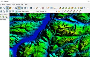


Orfeo ToolBox (OTB) is an open-source C++ library for remote sensing images processing, distributed under the CeCILL-v2 license.


LIDAR Analyst software is tightly integrated with the Esri® ArcGIS® platform to provide an end-to-end solution for visualizing and processing LiDAR data. Core to the product is the ability to rapidly generate accurate 3D scene content allowing tactical teams or...

ENVI combines advanced spectral image processing and proven geospatial analysis technology with a modern, user-friendly interface. Whether you use panchromatic, LiDAR, SAR, multispectral or hyperspectral imagery, ENVI has the latest processing and analysis tools to help you...


