


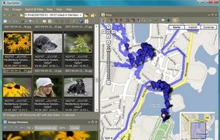
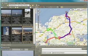
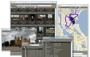
Freeware tool for Windows for showing and changing geo data and other metadata (IPTC/XMP/Exif) of digital camera image files.
Cost / License
- Free
- Proprietary
Platforms
- Windows
 Germany
 EU
EU




R


RoboGEO has been discontinued. Similar apps include Geosetter, which is free. Other options are GeoPhoto, Geotag, GeoTag for macOS and Photo Route. In total there are six Metadata Editors like RoboGEO for Mac, Windows, Linux, iPhone and iPad.
Freeware tool for Windows for showing and changing geo data and other metadata (IPTC/XMP/Exif) of digital camera image files.
GermanyEU
Ever wondered where you took all your great photos? Or want to know where one specific photo was shot? No problem with GeoPhoto!
GermanyEU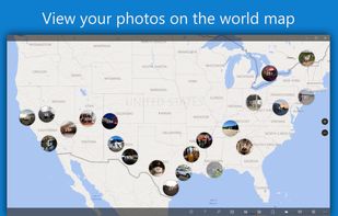
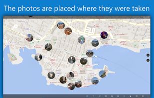
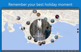
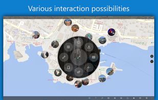


Geotag is an open source program that allows you match date/time information from photos with location information from a GPS unit or from a map
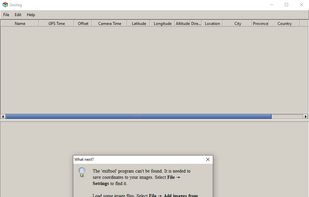


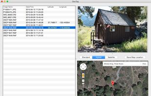
GeoTag is a freeware tool for Mac for showing and changing geo data of image files (e.g. images taken by digital cameras).


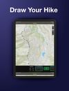
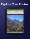
Turn your pictures into a journey map: with Photo Route, you can easily draw the route between the places you've visited.


GPSPhotoLinker adds GPS position and location data to your photos. The latitude and longitude recorded by your GPS unit are linked and saved to your photos. GPSPhotoLinker automatically enters the city, state and country into the metadata.


