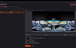
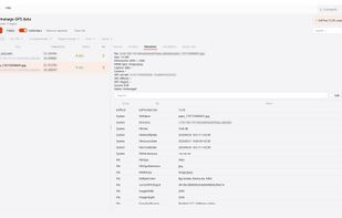
Freeware tool for Windows for showing and changing geo data and other metadata (IPTC/XMP/Exif) of digital camera image files.
Cost / License
- Free
- Proprietary
 Germany
 EU
EUPlatforms
- Windows
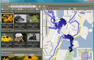

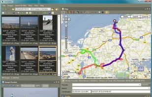

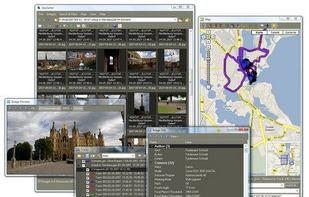


Photo GPS Extract is described as 'Free Windows-compatible software tool to quickly visualize the GPS location of a JPG photo: it will read the coordinates from the photo and show them on a Google Map' and is an app in the photos & graphics category. There are three alternatives to Photo GPS Extract for Windows, Linux and ExifTool. The best Photo GPS Extract alternative is Geosetter, which is free. Other great apps like Photo GPS Extract are Geotag and EXIF360.
Freeware tool for Windows for showing and changing geo data and other metadata (IPTC/XMP/Exif) of digital camera image files.

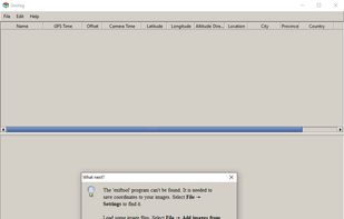
Geotag is an open source program that allows you match date/time information from photos with location information from a GPS unit or from a map


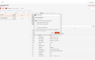
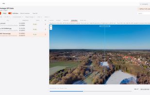
Windows tool for lossless GPS tagging of JPG, RAW, and equirectangular 360° panoramas. It matches timestamps to GPX tracks or lets users place photos on a map, corrects heading, pitch, and XMP metadata in batches, then uploads and links images as Street View tours.