PeakVisor AlternativesGPS Navigation & Map Services like PeakVisor
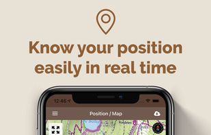
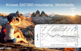
PeakVisor is described as 'Will make you a superhero of outdoor navigation by putting state-of-the-art 3D maps and mountain identification magic wand in your hand' and is a GPS Navigation service in the travel & location category. There are more than 10 alternatives to PeakVisor for a variety of platforms, including Android, iPhone, iPad, Web-based and Android Tablet apps. The best PeakVisor alternative is PeakOrama, which is both free and Open Source. Other great apps like PeakVisor are Komoot, AllTrails, Fantasy Hike and Visorando.
Alternatives list
 68 Komoot alternatives
Komoot is the key to the outdoors. Just plan your hiking, road cycling or MTB adventures in the planner, and be guided along every trail, track, road or path—even when you’re offline. Get your first region for free and say hello to your next adventure!
Cost / License
- Freemium
- Proprietary
Application types
Platforms
- Online
- Android
- iPhone
- Android Tablet
- iPad
- Apple Watch

 +5
+5


 50 AllTrails alternatives
Explore the outdoors with AllTrails! Discover nature with hiking, biking, backpacking and running trails around the world. Log your hike, walk, run or mountain bike ride with our GPS activity tracker. Looking for a good spot for camping or backpacking?
Cost / License
- Freemium
- Proprietary
Application types
Platforms
- Online
- Android
- iPhone
- Apple Watch


 +2
+2

 17 Fantasy Hike alternatives
Get motivated to walk! Fantasy Hike is a beautiful walking tracker for fantasy nerds and everyone that loves adventure. Start your quest today. All steps you take will let your halfling avatar progress through a beautiful fantasy adventure, from your comfy halfling hole all the...
Cost / License
- Freemium
- Proprietary
Platforms
- iPhone


 +2
+2


Visorando is the reference website and mobile application for hiking in France. We mainly offer hiking and biking / mountain bike tours in France, but also in the French Overseas Collectivities and abroad.
Cost / License
- Freemium
- Proprietary
Platforms
- Online
- Android
- iPhone
- iPad

 +1
+1


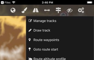
Supports offline vector maps for hiking, cycling, geocaching, boating, off-roading, skiing, and skating. Records tracks in the background, provides activity-specific map modes, elevation contours, hillshades, custom places, and map filtering for clarity and sharing.
 +9
+9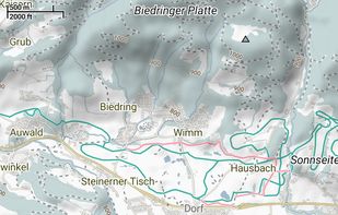


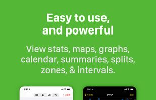
Walkmeter makes your phone a powerful fitness computer — with maps, graphs, splits, intervals, laps, announcements, zones, training plans, live tracking, social posting, and more.
Cost / License
- Freemium
- Proprietary
Platforms
- Android
- iPhone
- Android Tablet
- iPad
- Apple Watch
- Android Wear

 +5
+5

 34 Gaia GPS alternatives
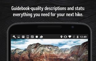
Plan trips and record GPS tracks for free, with the best outdoor app. Browse hiking trail maps, hunting units, and scout offroad camping trips.
Cost / License
- Freemium
- Proprietary
Application types
Platforms
- Online
- Android
- iPhone
- Android Tablet
- iPad

 +7
+7


Cost / License
- Free
- Proprietary
Platforms
- Android
- iPhone


 27 Wikiloc Outdoor Navigation GPS alternatives
Discover millions of outdoor trails around the world. Choose between hiking, running, bike, MTB, kayak, ski or up to 70 different types of activities.


Explore more mountains than any mountaineer! PeakFinder Earth makes it possible… and shows the names of all mountains and peaks with a 360° panorama display. This functions completely offline - and worldwide!

 +7
+7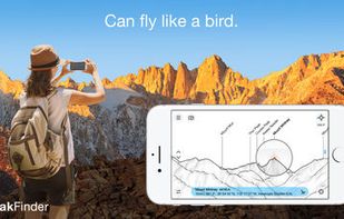


The Cartograph app views Mapsforge offline vector maps, offline raster maps, and online/WMS maps. It supports tracking, route search, overlays, hillshading, reliefs, track drawing, and has many other features.
Cost / License
- Freemium
- Proprietary
Application types
Platforms
- Mac
- Windows
- Android
- iPhone
- Android Tablet
- iPad

 +7
+7