maps.earth Alternatives
maps.earth is described as 'The Headway Project was born out of a frustration with the need to send current and future location data to a corporation in order to figure out how we’re getting from A to B. Offline-only maps apps can be frustrating to use, and sometimes suffer from performance problems, poor' and is a Map service in the travel & location category. There are more than 50 alternatives to maps.earth for a variety of platforms, including Android, Web-based, iPhone, Android Tablet and iPad apps. The best maps.earth alternative is OpenStreetMap, which is both free and Open Source. Other great apps like maps.earth are Google Maps, OsmAnd, Magic Earth and HERE WeGo.
Alternatives list


Cost / License
- Free
- Proprietary
Application types
Platforms
- Online
- Android
- iPhone
- iPad
 +7
+7


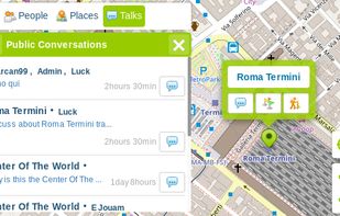
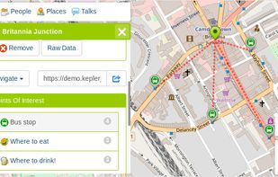
KeplerJs is a open source geosocial solution that lets users share favorite places and join discussions in real-time. It can be seen as a platform where users can interact with other open data platforms searching across OpenStreetMap, Geonames among other sources.

 +2
+2


Maximize the use of your Excel spreadsheet data. Make mapping the easiest. Transform Excel data into visual analysis. We lead in data simplification and presentation. We are committed to deliver the tools needed to outpace competition.
Cost / License
- Freemium
- Proprietary
Platforms
- Mac
- Windows
- Online


Naviki is the comprehensive bicycle App! Naviki offers worlwide best route planning for bicycles and an impressive documentation of your cycling activities.


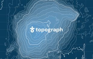
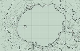
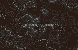
 52 topograph alternatives
Topograph turns real elevation data into clean, customizable topographic graphics. Generate from data, upload your own sources, or search any location. Adjust contour density, styles, and color, then export as SVG, PNG, PDF, GeoJSON, DXF, or STL. Runs client-side.
 +2
+2


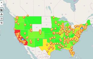
Ride Aware is an app for riders and drivers that notifies you of hazards ahead including speed cameras, red light cameras, and police.
Cost / License
- Paid
- Proprietary
Platforms
- Android
- iPhone
- Android Tablet
- iPad


Speed traps and road hazard alerts. Always connected and always up to date. Small enough to mount almost anywhere. Just start your engine and Drive Aware®.
Cost / License
- Paid
- Proprietary
Platforms
- Android
- iPhone
- Android Tablet
- iPad


Cost / License
- Free
- Proprietary
Platforms
- Online