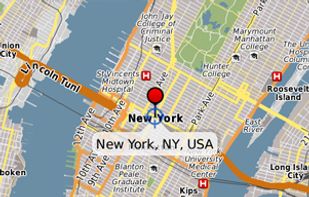
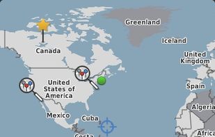
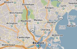
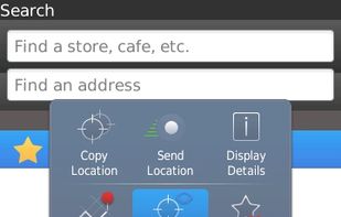
Chart your own course with built-in GPS (Global Positioning System) featured in selected BlackBerry smartphones.
Cost / License
- Free
- Proprietary
Application typeApplication types
Platforms
- Blackberry
 Canada



+3


Apps similar to Mapline include OpenStreetMap, which is free and open source. Other options are Google Maps, Google Earth, QGIS and HERE WeGo. You're spoiled for choice with Map Services like Mapline: we list more than 100 alternatives for the web, Windows, Android, iPhone and iPad.
Chart your own course with built-in GPS (Global Positioning System) featured in selected BlackBerry smartphones.
Canada
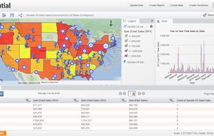
Powerful mapping software for visualizing, analyzing, and sharing your data. Powering Business Insights.
 Ireland
 EU


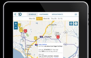
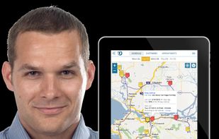
portatour® is your personal route-planner software, trusted by sales reps, field sales force, consultants, and service team members. Visit more customers – drive less miles. portatour® schedules calls to A, B, and C-priority customers in the right frequency – while...
 GermanyEU



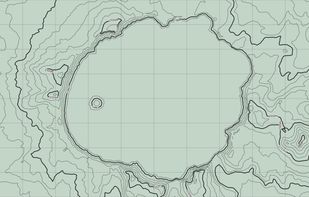
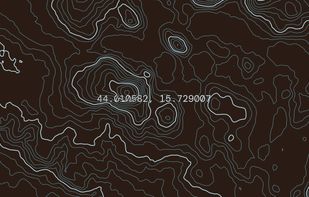
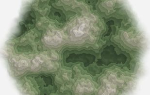
Topograph turns real elevation data into clean, customizable topographic graphics. Generate from data, upload your own sources, or search any location. Adjust contour density, styles, and color, then export as SVG, PNG, PDF, GeoJSON, DXF, or STL. Runs client-side.
 United States


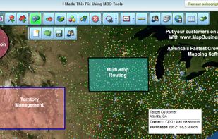
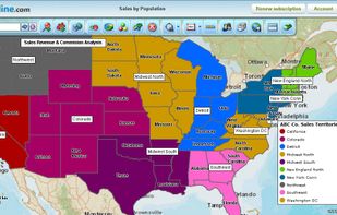
Map Business Online, America's fastest growing online mapping software, offers sales territory management, business data visualization, and multi-stop optimized routing tools for business professionals. The most affordable and powerful mapping software available today.


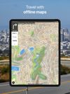
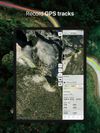
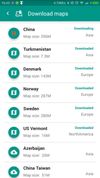
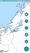
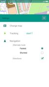
Offline maps with monthly updates, detailed OpenStreetMap data, turn-by-turn and voice navigation in nine languages, GPS track recording even in background, multilingual instant search, millions of POI, support for driving, cycling, walking, and customizable trip routes.
 PolandEU
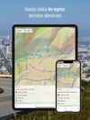


Google Maps API is a collection of APIs that enable you to overlay your own data on a customized Google Map. You can create engaging web and mobile applications with Google’s powerful mapping platform including satellite imagery, street view, elevation profiles, driving...


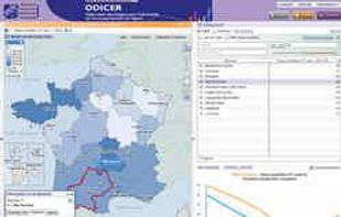
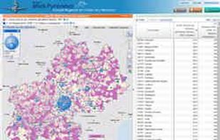
The Géoclip interactive mapping solution is proposed by EMC3. Géoclip permits to publish online thematic atlas or territorial observatories. Géoclip allows you to build web mapping applications for cartographic representations of statistical data.


Map3 is a decentralised map network that is impartial, secure and extremely robust. It is free from control, free to participate, free base map. It is built to be governed by the Map3 community where individuals and organisations can host Map3 nodes.
 BelgiumEU
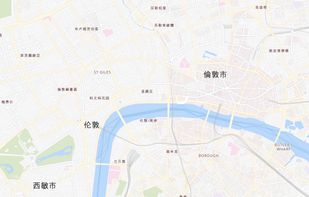


Offline navigation app providing worldwide maps from OSM, using Mapsforge-vtm for map display, Graphhopper for multi-mode routing, downloadable maps, turn-by-turn navigation, address search, privacy focus, no ads, lightweight interface, and community-supported updates.
 China


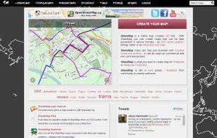
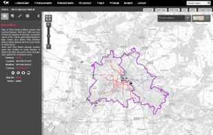
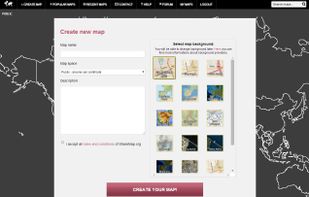
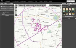
Sharemap is an online map creation GIS tool. With ShareMap you can create maps that can be later presented in various formats - as SVG vector graphic, bitmap raster or as interactive web map. Maps are free and licensed with Creative Commons license - it can be used on commercial...