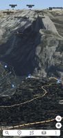
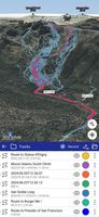
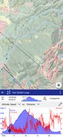
Ascend Maps is an open-source and privacy-friendly application for maps and GPS featuring 3D terrain, offline search, track recording and editing, advanced overlays such as slope angle shading and aspect shading, and more.
 United States




Apps similar to Locus Map include CoMaps, which is free and open source. Other options are Organic Maps, Google Maps, OsmAnd and Waze. You're spoiled for choice with GPS Navigation Services like Locus Map: we list more than 50 alternatives for Android, iPhone, the web, iPad and Linux.
Ascend Maps is an open-source and privacy-friendly application for maps and GPS featuring 3D terrain, offline search, track recording and editing, advanced overlays such as slope angle shading and aspect shading, and more.
United States
Provides GPS navigation for on-road and off-road journeys on Android and Linux, utilizing a forked libosmscout backend, with GPX reading and writing, compass, trip tracker, road routing, POI database, offline mapping, data import/export, and suitable for outdoor activities.
 France
 EU
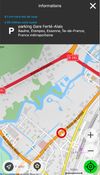
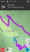


Transportia is a modern travel companion designed to make public transportation easier and more accessible.
 CzechiaEU


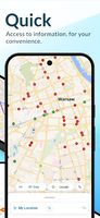


Kagi Maps is a powerful tool that simplifies the process of finding businesses, points of interest, and addresses. With Kagi Maps, you can easily search for locations, get driving or walking directions, and discover interesting stops along your route.
United States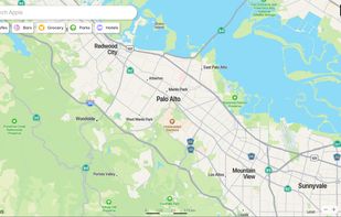


Features voice-guided GPS navigation, live vector maps, up-to-date satellite imagery, real-time traffic with automatic reroutes, route alternatives, cost comparisons, transit support, POI search, hotel and food booking, gas price checking, weather, and roadside assistance.
United States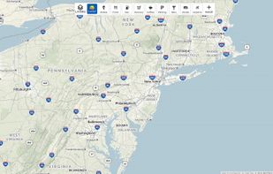
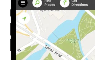
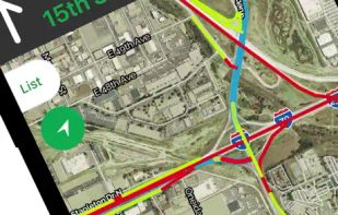


Explore the outdoors with AllTrails! Discover nature with hiking, biking, backpacking and running trails around the world. Log your hike, walk, run or mountain bike ride with our GPS activity tracker. Looking for a good spot for camping or backpacking?
United States

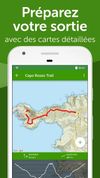


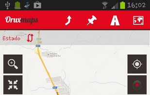
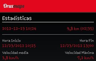
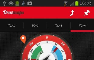
OruxMaps is an online/offline map viewer and track logger for Android. You can use OruxMaps for your outdoor activities (running, trekking, mountain bike, paragliding, flying, nautic sports, etc.)
Features:
Online map viewer The tiles used online can be cached, and can be used.
 SpainEU


GPS software offering real-time traffic data, customizable navigation for cars and trucks, offline maps, speed alerts, lane guidance, and Apple CarPlay. Supports smart journeys and truck-specific needs like rest-stop finding and dangerous cargo inputs.
 NetherlandsEU









Offline TomTom 3D maps, turn-by-turn voice navigation, frequent free updates, live traffic, speed camera alerts, HUD projection, safety warnings, parking tips, fuel prices, junction views, pedestrian routes, audio integration, dashcam, and extensive POI support.
 SlovakiaEU





Comprehensive journey planning with global maps, real-time traffic updates, fuel prices, cost calculations, service station locations, GPS navigation, parking, electric charging, 3D maps, up to 15 stops per route, points of interest, and detailed amenities.
FranceEU