LandBenchmark tells you what is wrong with a piece of land before you buy it.
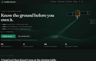
Most land tools show you boundaries and ownership. LandBenchmark measures the land itself. Draw a parcel anywhere on Earth: it reads satellite imagery and public records, then returns a plain verdict in about a minute.
It measures 55 signals across six evidence categories: flood and surface-water history, terrain and usable acreage, soil,
legal and physical access, hazards (wildfire, seismic, nearby contamination records), and climate. Thirty-four of those
work anywhere on Earth; US parcels go deepest, because county records, FEMA flood maps and the USDA soil survey are public there.
Every number names the dataset it came from, links to it, and states the date it was observed. Nothing is inferred and
presented as measured. When something cannot be measured, the report says so and gives the reason instead of guessing.
Eight questions a satellite cannot settle — title, easements, zoning, deed restrictions, mineral and water rights — go to
a human checklist.
We publish our own measured error rate at landbenchmark.com/accuracy — a ledger of what we checked our numbers against, and where we were wrong.
A report is an automated Phase-1 desk screen: not a survey, and not a substitute for on-site inspection. It is the hour of homework you would otherwise skip, done before you spend money on a parcel.
Free: one full satellite report. Pro: $19 a month, with a 3-day trial. No salesperson, no demo call.
Feature list
• 55 measured signals per parcel across 6 evidence categories
• Verdict in about a minute — flood, terrain, soil, access, hazards, climate
• Every value cites its dataset, its link and its observation date
• Unmeasurable signals are reported with the reason, never guessed
• 8-point human-verify checklist (title, easements, zoning, mineral & water rights)
• Daily monitoring — re-measured every day, emailed only when something changes
• Parcel timeline — every measurement ever taken of that land
• Side-by-side parcel comparison
• AI land expert that reads your report and answers questions about it
• Clean professional PDF report with cover page and satellite view
• Public accuracy ledger — our own measured error rate
• Public API and MCP server for AI agents







 winds3753 added LandBenchmark as alternative to Mappit
No comments or reviews, maybe you want to be first?