Netherlands
 EU



+2




 NetherlandsEU

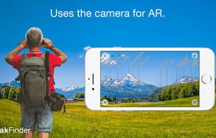
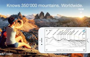
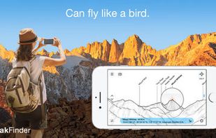
Explore more mountains than any mountaineer! PeakFinder Earth makes it possible… and shows the names of all mountains and peaks with a 360° panorama display. This functions completely offline - and worldwide!
 Switzerland


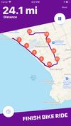
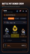
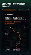
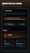
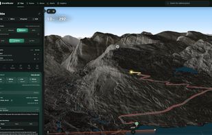
DriveBattle is the drive tracker for motorcycle and car crews. Every drive is recorded automatically - without opening the app. Compare yourself with your people, collect XP and levels, and share your best tours.


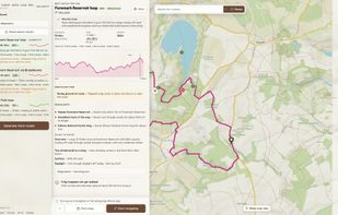
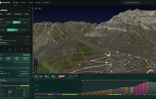
Windy Gap helps you choose the right walk for the day you have. Set the distance and climb, then see the best fits, the hard parts, and what's known about each route.
 United Kingdom


"HeartWatch is so good, you’d think Apple built the app itself." John Patrick Pullen, Time Magazine. Top 5 in Health & Fitness in 63 countries.





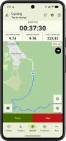
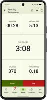
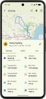
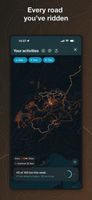
Privacy-first GPS activity tracker for running, walking, cycling, hiking and workouts, with no ads, no required account, local activity history, GPX tools and Wear OS controls.
 BulgariaEU


Download free offline maps of any country, record your hikes and plan your own trails, on iPhone, iPad and Apple Watch. No sign-up, no ads, no tracking: your hikes sync only through your own iCloud. And OpenHikes is open source, so anyone can check what it does.
 HungaryEU
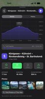
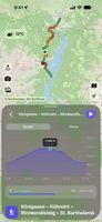
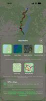


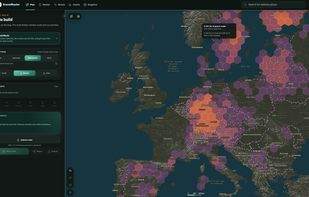
Browser-based route planner for gravel cycling that prioritizes rideable gravel roads and shows surface types. It offers fast, balanced, and most-gravel routing, elevation and weather data, cycling POIs, Strava layers, GPX export, plus Pro tools for loops, editing, saved routes, imports, and offline access.
 Norway
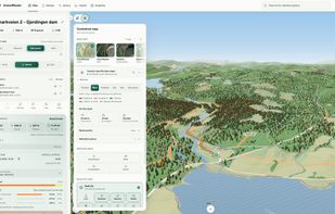

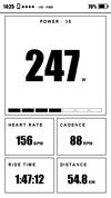
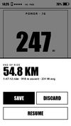
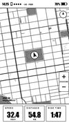
OpenTrailPaper is firmware for the LilyGO T5S3 4.7" E-Paper PRO. It shows ride data and offline maps, follows GPX routes, records FIT files and connects to Bluetooth sensors. You buy and protect the board yourself.
 United States


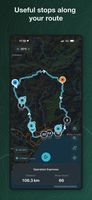
Route Companion is a phone app for long rides and runs. Import a route from Strava, Ride with GPS or a GPX file, or plan one in the app, and it finds the stops along it from OpenStreetMap: water, shops, cafés, restaurants, toilets, bike shops and more.
Switzerland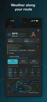


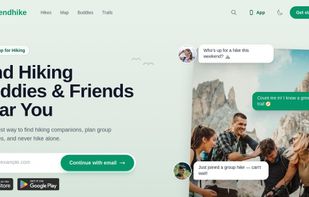
FriendHike is a social hiking app that helps you find hiking buddies and partners near you, so you never have to hike alone.


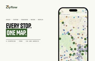
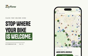
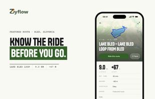
Zyflow is a cycling map that shows where to stop, not only how to get there. It puts bike-friendly stays, cafés and restaurants on one map, with bike parking, secure storage and charging marked on each place, plus drinking water, repair stations and e-bike chargers.
 SloveniaEU